What is recorded here
Fairy fort in Deredis Lower is a D-shaped earthen ringfort with a wide break and causeway at its north-west entrance. The Annalee River skirts the outer bank from northeast to south, forcing the shallow fosse to run inside the earthwork along that whole stretch. Its uneven shape and water-worn edges suggest people lived here long enough to adapt the fort to the river rather than force the river to suit a perfect circle.
Raised D-shaped area (int. dims. 29.6mNE-SW; 18m NW-SE) enclosed by a slight earthen bank and a wide, shallow fosse. The Annalee River skirts the outer foot of the bank from NE-E-S and as a result the fosse runs inside the bank at this point. Wide break in bank with accompanying causeway at NNW represents original entrance.
The above description is derived from the published 'Archaeological Inventory of County Cavan' (Dublin: Stationery Office, 1995). In certain instances the entries have been revised and updated in the light of recent research.
Date of upload/revision: 22 December 2008
The monument record does not grant public access. Check the route and ask the landowner before entering private land.
- What survives
- Recorded monument
Places near here
 IndicatedFairy fort / earthen ringfort · 402 yd
 Giants GraveArchaeological place · 502 yd
 Derrygarra UpperMountain / peak · 804 yd
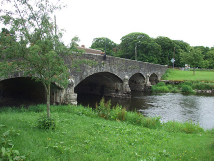
 bridgebridge · 831 yd
 Saint Aidan's Catholic Churchchurch/chapel · 843 yd
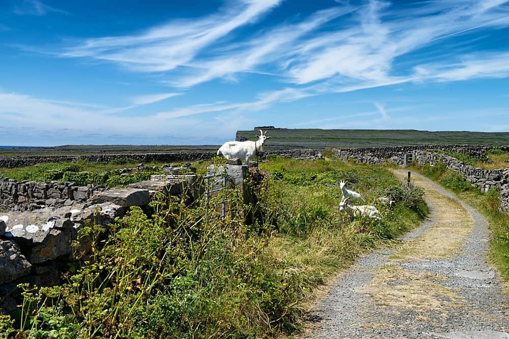 Granshagh or Riverview Fort (Site of)Enclosure · 1.0 mi
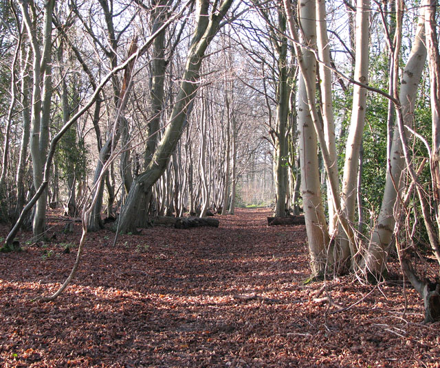 Kilnaglare Lower WoodForest · 1.2 mi
 European BeechEuropean Beech · 1.5 mi
 Annagh Lough BeachBeach / strand · 1.6 mi
 DrumcalpinMountain / peak · 1.7 mi
 Duck IslandIsland · 1.7 mi
 InishmuckIsland · 2.5 mi