What is recorded here
Deerpark held a circular earthen fort visible in 1916 but erased before modern photography. Whether human hands built it or fairy mischief shaped the soil, the land keeps its own secret. What is forgotten by surveyors may still breathe beneath the grass, waiting for someone clever enough to listen.
This circular enclosure is not marked on the 1841-42 OS map, but it appears on the later edition of 1916. No surface trace remains today.
The above description is derived from C. Toal, ‘North Kerry Archaeological Survey’. Dingle. Brandon in association with FAS Training and Employment Authority (1995), no. 547. In certain instances the entries have been revised and updated in the light of recent research.
Date of upload: 2 August 2013
The monument record does not grant public access. Check the route and ask the landowner before entering private land.
- What survives
- Recorded monument
Places near here
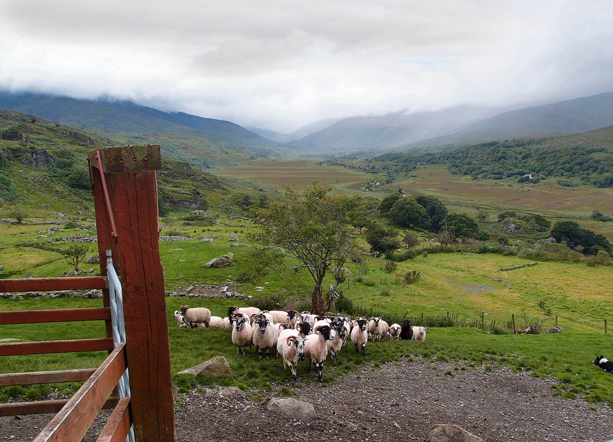 Fulacht fia in Deerpark (clanmaurice By.)Fulacht fia · 169 yd
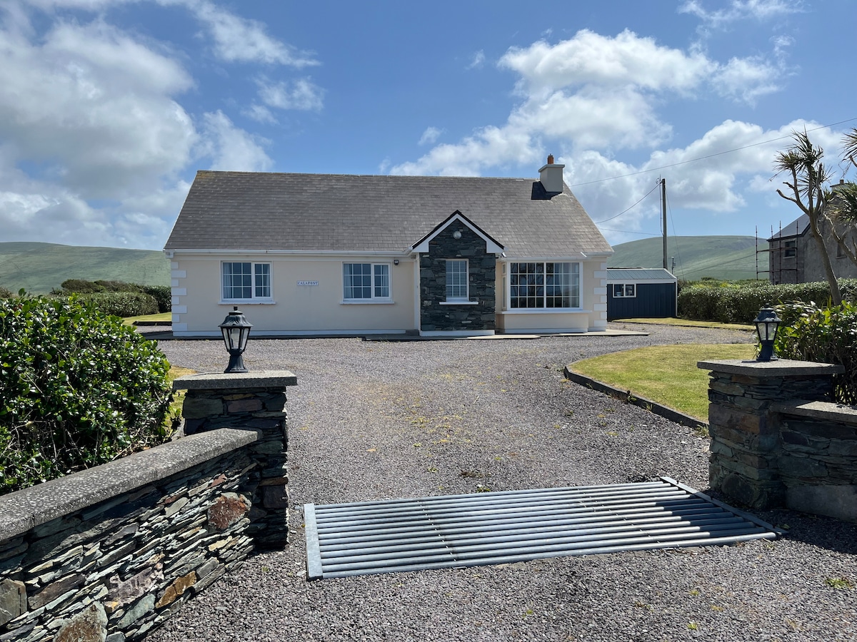 Enclosure in AghacooraEnclosure · 1429 yd
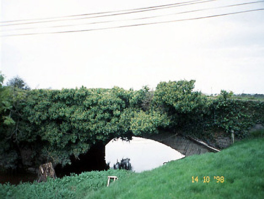 Lixnaw Bridgebridge · 1.4 mi
 CastleCastle, Anglo-Norman masonry castle · 1.5 mi
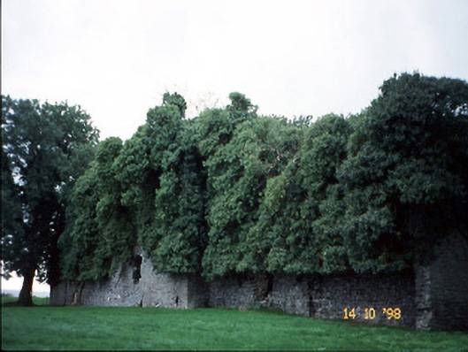 Old Courtcountry house · 1.5 mi
 Ballymacaquinn Castle (remains of)Castle · 2.8 mi
 Kilflynn Nature ReserveNature reserve · 3.0 mi
 Tobar na MoltSpring · 5.6 mi
 CruslineMountain / peak · 5.6 mi
 Stack's MountainMountain / peak · 5.7 mi
 Pierce's IslandIslet · 6.4 mi
 Ardfert Franciscan FriaryVisitor information · 6.4 mi