What is recorded here
In flat pasture with the ground sloping down to E to a hollow. An arc of earthen bank (L c. 30m; Wth 4.3m; int. H 0.5m; ext. H 1.5m) is evident N-E as indicated on the 1911 OS 6-inch map and is possibly the remains of a rath.
The above description is derived from the published 'Archaeological Inventory of County Sligo' compiled by Ursula Egan, Elizabeth Byrne, Mary Sleeman with Sheila Ronan and Connie Murphy (Dublin Stationery Office, 2005).
Date of upload: 18 January 2008
The monument record does not grant public access. Check the route and ask the landowner before entering private land.
- What survives
- Recorded monument
Places near here
 Catholic Church of the Immaculate Conceptionchurch/chapel · 175 yd
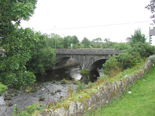 bridgebridge · 216 yd
 Indicated (1838).Enclosure · 1363 yd
 LissaneFairy fort / earthen ringfort · 1715 yd
 Castle (Site of)Castle, unclassified · 3.4 mi
 Ballyara Castle (in Ruins)Castle, unclassified · 3.5 mi
 Old Cave Burial GroundArchaeological place · 3.7 mi
 Procession Of The SoulsMemorial · 7.9 mi
 Brabazon WoodsForest · 8.1 mi
 Bockagh HillMountain / peak · 8.2 mi
 Lough Talt TrailVisitor information · 8.3 mi
 HawthornHawthorn · 8.4 mi