What is recorded here
Fairy fort in Curraghoo More, County Cork: a 50-metre earthen ring on a west-facing pasture slope, with a break in the bank to the east and a fulacht fiadh at its centre. People may have cooked, gathered or excluded others there; the fairies, according to local story, kept the fort for themselves.
In pasture, on W-facing slope. Circular area (c. 50m E-W) enclosed by earthen bank (int. H 1.8m); external fosse (D 1.3m) N->E. Break (Wth 5.8m) in bank to E. Interior slopes down to S; heavily overgrown and cut by streams; fulacht fiadh (10671) at centre. Field boundary skirting site N->S, shown on 1935 OS 6-inch map and partially hachured to NE, is part of recent farm laneway.
The above description is derived from the published 'Archaeological Inventory of County Cork. Volume 4: North Cork' (Dublin: Stationery Office, 2000). In certain instances the entries have been revised and updated in the light of recent research.
Date of upload/revision: 14 January 2009
The monument record does not grant public access. Check the route and ask the landowner before entering private land.
- What survives
- Recorded monument
Places near here
 Castle (in Ruins)Castle, tower house · 755 yd
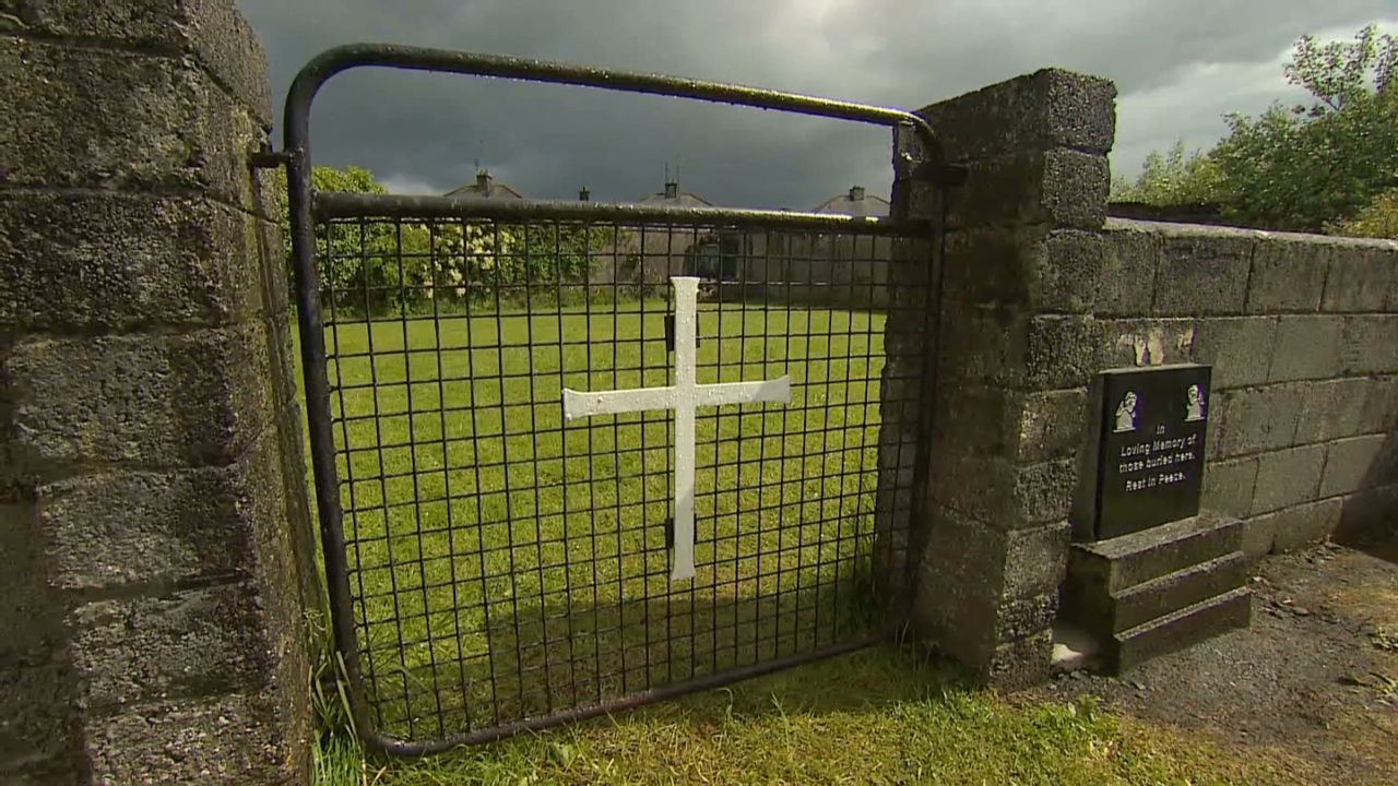 Grave YardGraveyard · 1065 yd
 Dunmahon Castle (in Ruins)Bawn · 1155 yd
 Fulacht fia in KilleenemerFulacht fia · 1169 yd
 Air HillCountry house · 1228 yd
 Killleenemer Church (in Ruins)Church · 1423 yd
 St Dominick's WellSpring · 1.3 mi
 Graveyard in BoherashGraveyard · 1.4 mi
 Flat cemetery in Ballyenahan NorthFlat cemetery · 3.7 mi
 Blackwater (Avondhu) WayWalking route · 5.3 mi
 Anne's Grove GardensHeritage attraction · 5.5 mi
 Johnson's WoodForest · 5.6 mi