What is recorded here
Curraghoo Beg held a twenty-metre earthen ring on a SW-facing slope above a stream, visible enough for the 1842 survey but erased before modern memory. It stands beside a fulacht fiadh, a cooking or bathing site where heat and water met, suggesting the fort was not a dead shape but a living edge of the valley. The fairies keep what people forget: a circle of soil, a hot spring, a door that closes when the field is ploughed.
In pasture, on SW-facing slope, on N side of stream. Depicted as hachured circular enclosure (diam. c. 20m) on 1842 OS 6-inch map. Levelled; no visible surface trace. Fulacht fiadh (CO027-016---) lies c. 80m to ESE.
The above description is derived from the published 'Archaeological Inventory of County Cork. Volume 4: North Cork' (Dublin: Stationery Office, 2000). In certain instances the entries have been revised and updated in the light of recent research.
Date of upload/revision: 14 January 2009
The monument record does not grant public access. Check the route and ask the landowner before entering private land.
- What survives
- Recorded monument
Places near here
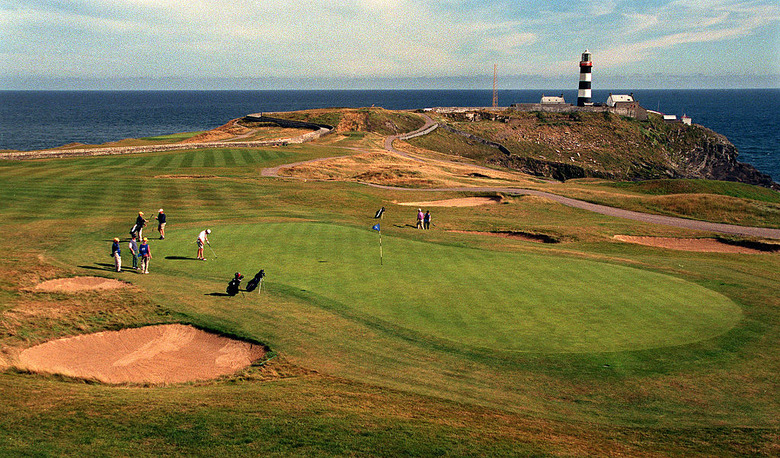 Fulacht fia in KilleenemerFulacht fia · 786 yd
 Water millWater mill, horizontal-wheeled · 810 yd
 Castle (in Ruins)Castle, tower house · 836 yd
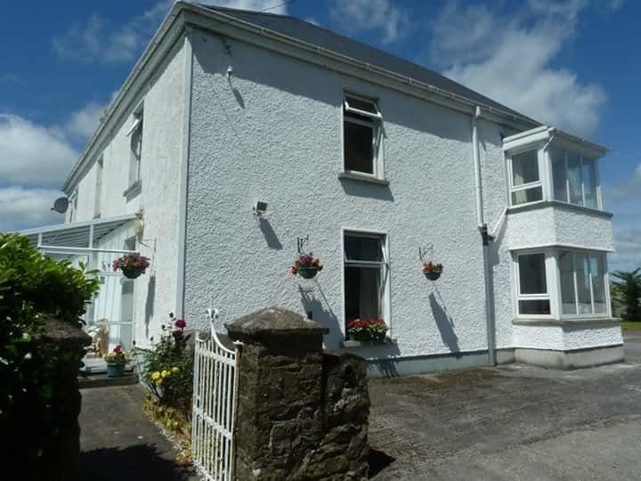 Ballykenly BrBridge · 864 yd
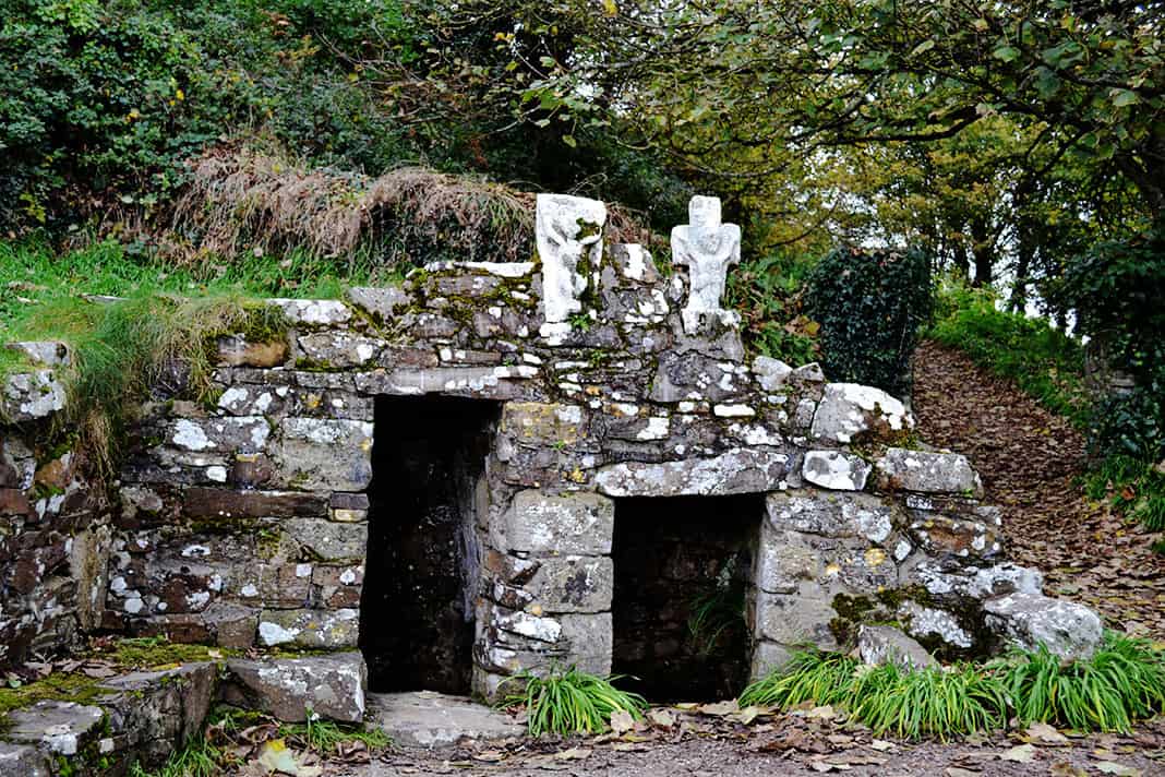 Holy well in BallykenlyHoly well · 1150 yd
 Dunmahon Castle (in Ruins)Bawn · 1748 yd
 St Dominick's WellSpring · 1.5 mi
 Graveyard in BoherashGraveyard · 1.5 mi
 Flat cemetery in Ballyenahan NorthFlat cemetery · 3.3 mi
 Anne's Grove GardensHeritage attraction · 5.2 mi
 Blackwater (Avondhu) WayWalking route · 5.4 mi
 Kilclooney WoodWood · 5.5 mi