What is recorded here
Two-thirds gone to quarrying, a sixth of a ring remains: a north-south earthen arc, one point six metres high, smothered in bramble on a gravel knoll above the Saivnose River. What was taken is gone; what is left holds the shape of the whole in its absence. A ringfort reduced to a parenthesis, still marking the circle it once completed.
In pasture atop gravel knoll, overlooking Saivnose River to SE. Hachured on OS 6-inch map (1902) as circular enclosure (diam. c. 20m). Approximately two-thirds of enclosure has been quarried; remainder defined from N->S by arc of earthen bank (H 1.6m), now heavily overgrown.
The above description is derived from the published 'Archaeological Inventory of County Cork. Volume 1: West Cork' (Dublin: Stationery Office, 1992). In certain instances the entries have been revised and updated in the light of recent research.
Date of upload/revision: 14 January 2009
The monument record does not grant public access. Check the route and ask the landowner before entering private land.
- What survives
- Recorded monument
Places near here
 The Presbyterypresbytery/parochial/curate's house · 724 yd
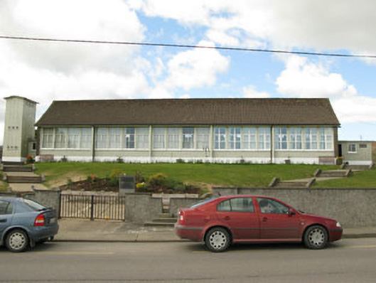 Scoil Mhuire Draighneaghschool · 726 yd
 Man-made underground passage in CurraghnaloughraMan-made underground passage · 858 yd
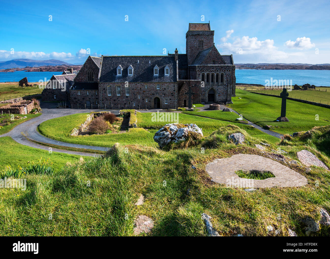 Burial Place for ChildrenBurial ground · 1162 yd
 Graveyard in ToughmacdermodyGraveyard · 1.5 mi
 CarrigfaddaMountain / peak · 2.1 mi
 Cross commemorating Holy Day.Memorial · 2.2 mi
 Mohona WoodWood · 3.8 mi
 Milane HillMountain / peak · 4.3 mi
 Leap waterfallHeritage attraction · 4.5 mi
 Bláth na GréineWood · 5.0 mi
 Castle SalemCastle · 5.1 mi