What is recorded here
Thirty-six metres of forgotten anger circle the flat Galway grass, holding its shape through centuries of neglect. The earth bank rises from the south-east to the south-west while a hidden scarp completes the unseen boundary. Field walls now trap the fort inside human ownership, yet the original ring still refuses to disappear. What rages behind that much preserved exclusion?
In level grassland. Poorly preserved circular rath (D 36m) defined by a bank from SE through S to SW; elsewhere a scarp forms the enclosing element. An intervening fosse and outer bank survive from SW through W to NW. A number of field walls encircle the monument.
The above description is derived from the published 'Archaeological Inventory of County Galway Vol. II - North Galway'. Compiled by Olive Alcock, Kathy de hÓra and Paul Gosling (Dublin: Stationery Office, 1999).
Date of upload: 05 August 2010
The monument record does not grant public access. Check the route and ask the landowner before entering private land.
- What survives
- Recorded monument
Places near here
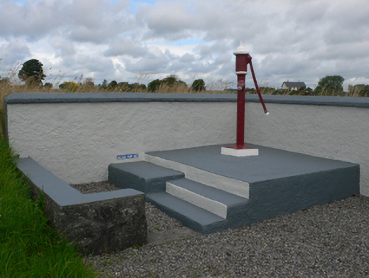 water pumpwater pump · 348 yd
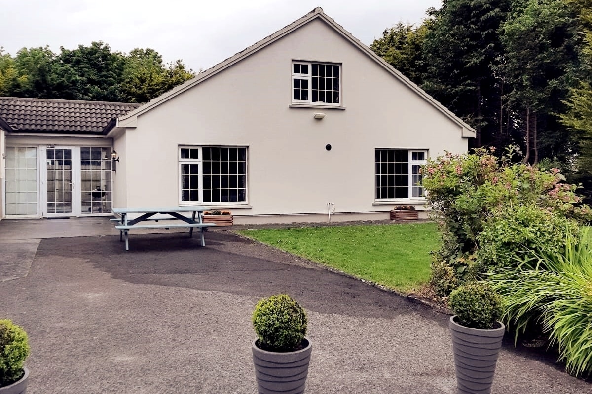 Enclosure in LissyconorEnclosure · 1147 yd
 Catholic Church of Christ the Kingchurch/chapel · 1527 yd
 Castle in ruinsCastle, unclassified · 1560 yd
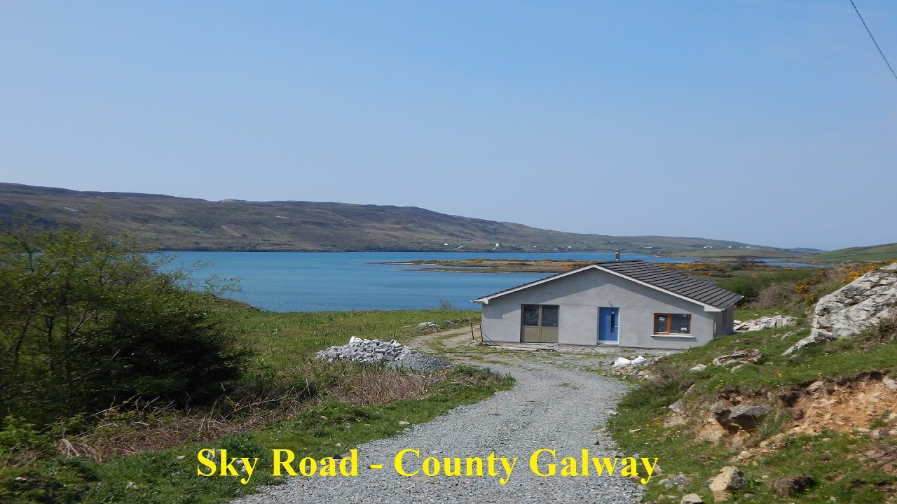 LissabrollaunFairy fort / earthen ringfort · 1731 yd
 Slieve DartMountain / peak · 2.4 mi
 Dunmore CastleCastle · 4.0 mi
 Site of Killomaine Grave YardArchaeological place · 8.9 mi
 European ashEuropean ash · 12 mi
 Quarry in CastleQuarry · 1568 yd
 Lacka Valeahaubar Br.Bridge · 1.0 mi
 ShrineAltar · 1.1 mi