What is recorded here
Half a ring still stands in Curraclogh pasture, its earthen bank topped by a stone fence and marked by a dark grass line where the ditch cut through the slope. Cattle graze the lighter interior today, but the shape has resisted every plough and mapping survey since at least 1842. The fairies may have built it or forgotten it, yet the earth remembers the circle even when people stop naming it.
In pasture, on S-facing slope. Depicted as circular enclosure on 1842, 1904 and 1943 OS 6-inch maps. Arc formed by earthen bank (H 1m) survives N->S (diam. 35.4m); topped by stone wall and incorporated into field fence system. Grass in interior and in area of levelled bank is lighter in colour than surrounding field, with darker band of grass along line of fosse S->N.
The above description is derived from the published 'Archaeological Inventory of County Cork. Volume 3: Mid Cork' (Dublin: Stationery Office, 1997). In certain instances the entries have been revised and updated in the light of recent research.
Date of upload/revision: 14 January 2009
A fairy fort or earthen ringfort in Curraclogh, likely dating to the early medieval period, is represented by a partial circular bank and stone wall incorporated into a field fence. The site, long associated with local folklore surrounding fairies and otherworldly beings, has been mapped since the mid-19th century.
The monument record does not grant public access. Check the route and ask the landowner before entering private land.
- What survives
- Recorded monument
Places near here
 MillMill, fulling · 838 yd
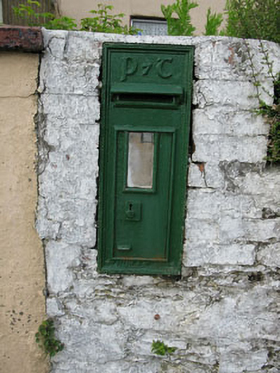 post boxpost box · 850 yd
 Burnt spread in CoolduffBurnt spread · 1702 yd
 Man-made underground passageMan-made underground passage · 1732 yd
 Kilmurry WoodsPicnic place · 1.1 mi
 Independence MuseumMuseum · 1.2 mi
 Priest MemorialMemorial · 1.4 mi
 Michael Collins MemorialMemorial · 1.6 mi
 Andrew's WoodWood · 1.9 mi
 Summerhouse WoodForest · 1.9 mi
 Green HillMountain / peak · 2.0 mi
 Clodah CastleCastle · 2.2 mi