What is recorded here
Fairy fort in Currabeha, County Cork: an earthen ringfort hidden under grass on a north-facing slope. It belongs to the old Irish landscape, where circular enclosures marked lived territory long before modern boundaries. When ploughed, soil marks reveal its shape, suggesting the earth still remembers the ditch and bank. People may have lived, herded, hidden or worshipped there; the fairies, according to local story, took the fort back when human use faded.
In pasture, on N-facing slope. Soil mark depicting circular enclosure visible when field ploughed (pers. comm. John Sheehan, Kilmurry). Grass-covered; no visible surface trace.
The above description is derived from the published 'Archaeological Inventory of County Cork. Volume 3: Mid Cork' (Dublin: Stationery Office, 1997). In certain instances the entries have been revised and updated in the light of recent research.
Date of upload/revision: 14 January 2009
The monument record does not grant public access. Check the route and ask the landowner before entering private land.
- What survives
- Recorded monument
Places near here
 IndicatedFairy fort / earthen ringfort · 477 yd
 Man-made underground passage in CloghmacowMan-made underground passage · 984 yd
 bridgebridge · 1377 yd
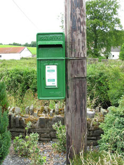 post boxpost box · 1444 yd
 Clodah CastleCastle · 1581 yd
 Independence MuseumMuseum · 1.2 mi
 Michael Collins MemorialMemorial · 1.4 mi
 Kilmurry WoodsPicnic place · 1.5 mi
 Priest MemorialMemorial · 1.6 mi
 Andrew's WoodWood · 2.0 mi
 Stephen's WoodForest · 2.4 mi
 Castlemore CastleCastle · 2.5 mi