
What is recorded here
Indicated is a partially buried fairy fort on a north-facing Cork slope, its thirty-five-metre circle reduced to a low earthen arc beside a laneway. Conifers crowd the outside ditch while stone-facing mimics ordinary field fences, hiding the ring’s true shape beneath farm practicality. The land may still remember the boundary even when human memory has forgotten it.
In tillage, on N-facing slope. Depicted on 1943 OS 6-inch map as partially levelled circular enclosure (diam. c. 35m). Arc S->W formed by earthen bank (H 1.2m) on SW side of laneway. Slight rise visible in area of enclosure on NE side of laneway. Bank stone-faced internally similar to surrounding field fences. Coniferous trees planted immediately outside bank in area of fosse.
The above description is derived from the published 'Archaeological Inventory of County Cork. Volume 3: Mid Cork' (Dublin: Stationery Office, 1997). In certain instances the entries have been revised and updated in the light of recent research.
Date of upload/revision: 14 January 2009
The monument record does not grant public access. Check the route and ask the landowner before entering private land.
- What survives
- Recorded monument
Places near here
 Man-made underground passage in ClodahMan-made underground passage · 997 yd
 Enclosure in ClodahEnclosure · 1144 yd
 bridgebridge · 1256 yd
 Clodah CastleCastle · 1269 yd
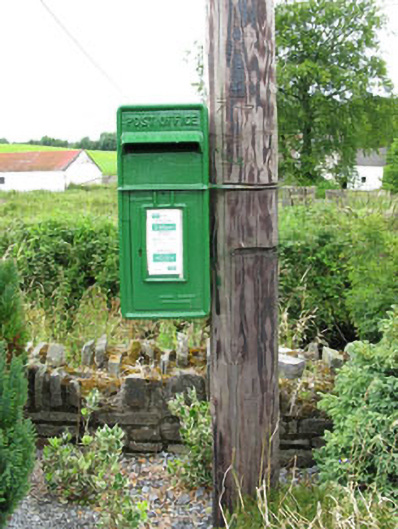 post boxpost box · 1309 yd
 Michael Collins MemorialMemorial · 1.3 mi
 Independence MuseumMuseum · 1.4 mi
 Kilmurry WoodsPicnic place · 1.7 mi
 Priest MemorialMemorial · 1.9 mi
 Andrew's WoodWood · 2.2 mi
 Castlemore CastleCastle · 2.4 mi
 Stephen's WoodForest · 2.7 mi
Other information
Photo: Credit not shown in the picture search · Rights wording not checked; contact us if this picture should be removed