What is recorded here
No visible fort remains at Currabeha, though a faint circular ridge and shallow ditch still mark the ground where one stood. The shape is small enough to walk across in a minute, yet it has watched the same southern slope for centuries. People may have lived there, buried their dead there, or simply avoided it because fairy stories warned them away. The earth keeps the boundary even when the walls have forgotten their own name.
In pasture, on S-facing slope. Depicted as hachured arc formed by bank with external fosse NNW->NNE on 1905 and 1935 OS 6-inch maps. Circular area (c. 36m N-S; c. 34m E-W) defined by low, grass-covered, earthen bank NW->NE, with external fosse (D 1.9m) cut into upslope; low rise elsewhere. Interior slopes gently down to S.
The above description is derived from the published 'Archaeological Inventory of County Cork. Volume 4: North Cork' (Dublin: Stationery Office, 2000). In certain instances the entries have been revised and updated in the light of recent research.
Date of upload/revision: 14 January 2009
The monument record does not grant public access. Check the route and ask the landowner before entering private land.
- What survives
- Recorded monument
Places near here
 Ballyclough Burial GdGraveyard · 895 yd
 Country house in Kilmagner (condons and Clongibbon By.)Country house · 952 yd
 Moated site in Ballybride UpperMoated site · 1686 yd
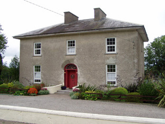 Kilbarry Househouse · 1.2 mi
 Natural heritage of CoolagowanVisitor information · 1.5 mi
 Life Space ParkPicnic place · 1.6 mi
 Aghern CastleCastle · 2.5 mi
 Mocollop Castle (in ruins)Castle, Anglo-Norman masonry castle · 2.7 mi
 Saint Micheal's Holy WellSpring · 2.7 mi
 Aghern CemeteryWood · 2.8 mi
 Castlebrook forestWood · 3.2 mi
 Graveyard in Curraheen (kinnatalloon By.)Graveyard · 3.5 mi