What is recorded here
Crushyriree once held two earthen rings, but human hands removed one before 1923. Power recorded the loss while the exact spot resisted memory. The earth kept its own secret, denying the fort even the dignity of a visible scar.
One of two ringforts (CO064-003---) recorded by Power (1923, 204) in this townland. Exact location not known; 'completely demolished' in Power's time.
The above description is derived from the published 'Archaeological Inventory of County Cork. Volume 2: East and South Cork' (Dublin: Stationery Office, 1994). In certain instances the entries have been revised and updated in the light of recent research.
Date of upload/revision: 14 January 2009
The monument record does not grant public access. Check the route and ask the landowner before entering private land.
- What survives
- Recorded monument
Places near here
 Burnt mound in CrushyrireeBurnt mound · 507 yd
 Annacarton Bridgebridge · 638 yd
 Water millWater mill, horizontal-wheeled · 877 yd
 Fulacht fia in KillaloughFulacht fia · 1195 yd
 Castle (Site of)Castle, unclassified · 1.1 mi
 Sarsfields Court (in Ruins)Castle, unclassified · 1.6 mi
 Glanmire Heritage SocietyMemorial · 3.4 mi
 Cork WalksVisitor information · 4.3 mi
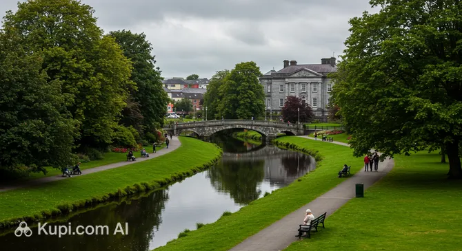 Tinker's Cross ParkMemorial · 4.4 mi
 Metalworking site in Ballinvinny SouthMetalworking site · 1219 yd
 farm housefarm house · 1240 yd
 RoadRoad, road/trackway · 1302 yd