What is recorded here
Mortons and others walked the crisp path toward the fort, not knowing whether they sought a fairy king or a forgotten man. The earth leaned back like a listening ear, and the narrow gate held its breath beneath the grass. They brought bread, ink and a small knife for cutting ribbons. The fort gave back a shadow that moved ahead of them, marking the way through the valley.
Located on the S-facing spine of a N-S drumlin. This is a circular grass-covered area (diam. 67.2m N-S; 63m E-W) that slopes down slightly from the centre to the SE (H 1.3m). It is defined by an earthen bank (Wth 5.5-6m; int. H 0.4m at SE to 1.1m at NW; ext. H 1.1m at NW to 2.3m at SE), with an outer fosse or drain (at SW: Wth of top 3m; Wth of base 1m; ext. D 0.2m) SE-W-NW. The original entrance (Wth of base 1.4m) and causeway (Wth of top 2.7m) are at S. A NNW-SSE field bank overlies the interior towards the perimeter at W.
The above description is derived from the published 'Archaeological Inventory of County Meath' (Dublin: Stationery Office, 1987). In certain instances the entries have been revised and updated in the light of recent research.
Compiled by: Michael Moore
Date of revision: 5 September 2018
Amended: 14 December 2022
The monument record does not grant public access. Check the route and ask the landowner before entering private land.
- What survives
- Recorded monument
Places near here
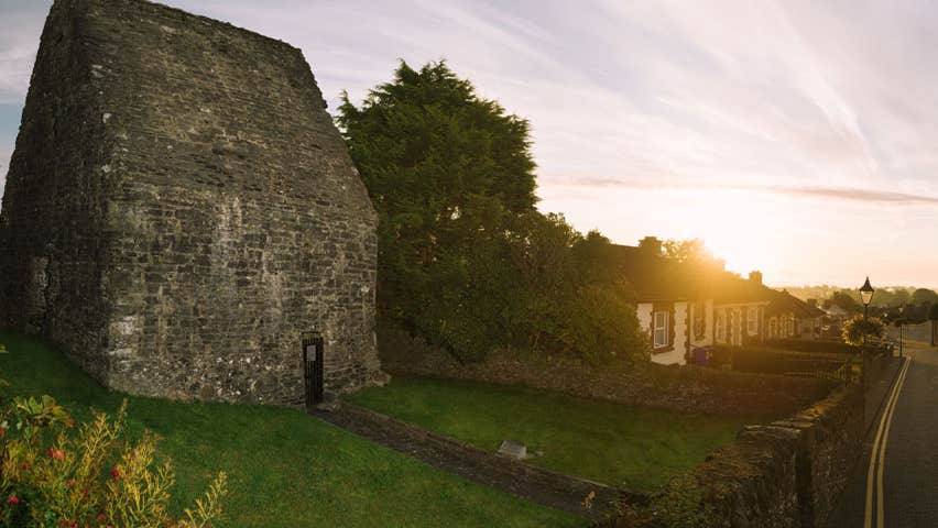 MoatCastle, motte and bailey · 791 yd
 CrossCross, Churchyard cross · 844 yd
 Concentric enclosure in Cruicetown (kells Lower By.)Concentric enclosure · 1373 yd
 Cherburg WoodForest · 1.0 mi
 Church in Robertstown (kells Lower By.)Church · 1.0 mi
 Bawn in Robertstown (kells Lower By.)Bawn · 1.1 mi
 Common LimeCommon Lime · 1.2 mi
 Owenroe and Moynalty DrainageMemorial · 1.7 mi
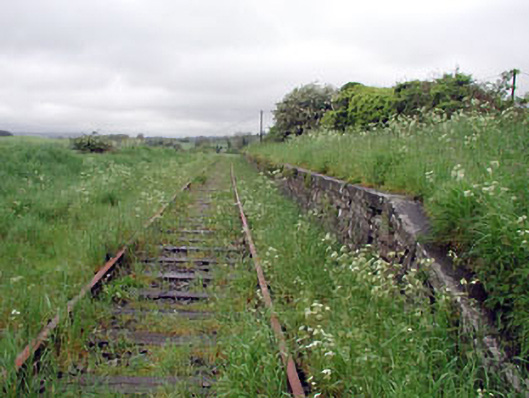 Nobber Railway Stationplatform · 1.7 mi
 Nobber GreenwayMemorial · 1.7 mi
 Gallows HillMountain / peak · 1.9 mi
 HeadstownMountain / peak · 2.1 mi