What is recorded here
Mortons and Foy are splitting one road. Drop the boundary ribbon and measure the smallest distance between the two fronts.
This circular enclosure would not appear to have been marked on the 1841-42 OS map, although it is marked on the 1916 map. This area seems to have been heavily forested in the past, though not now, and no surface trace remains of the site
The above description is derived from C. Toal, ‘North Kerry Archaeological Survey’. Dingle. Brandon in association with FAS Training and Employment Authority (1995), no. 544. In certain instances the entries have been revised and updated in the light of recent research.
Date of upload: 2 August 2013
The monument record does not grant public access. Check the route and ask the landowner before entering private land.
- What survives
- Recorded monument
Places near here
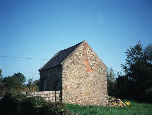 Crotta Housegate lodge · 476 yd
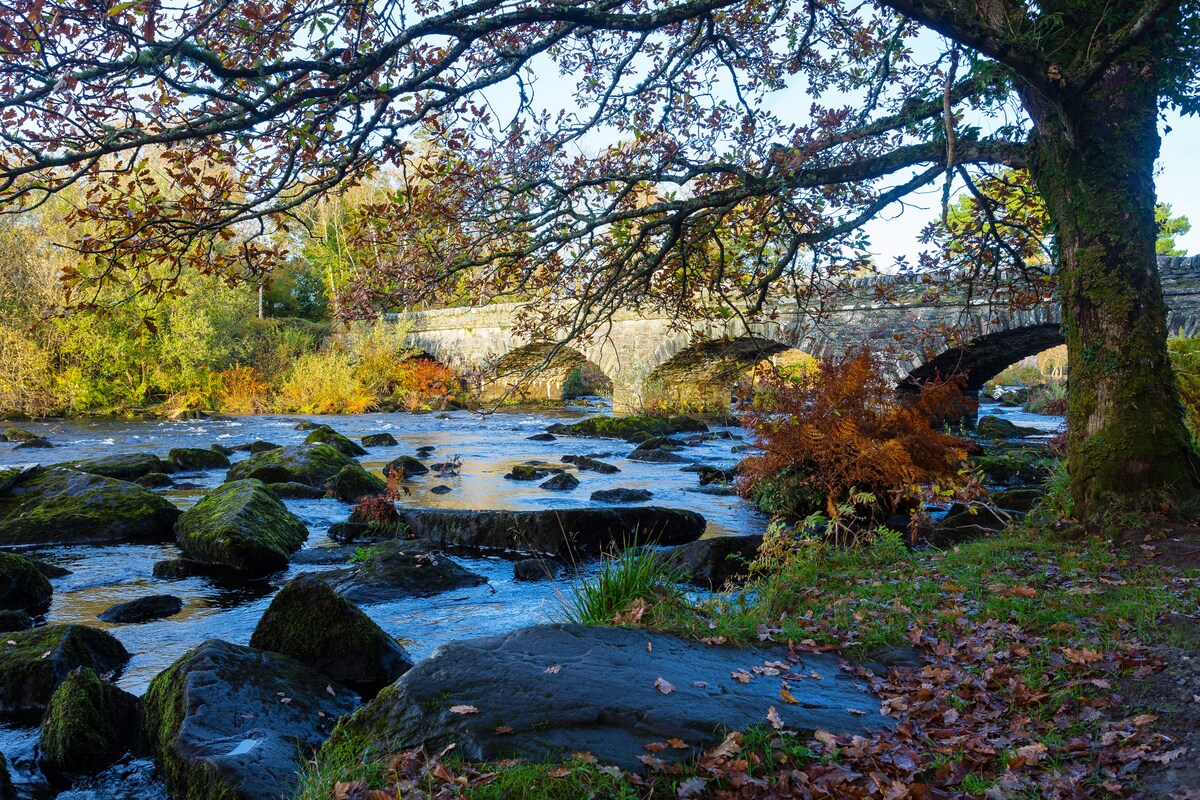 Fulacht fia in AghacooraFulacht fia · 1347 yd
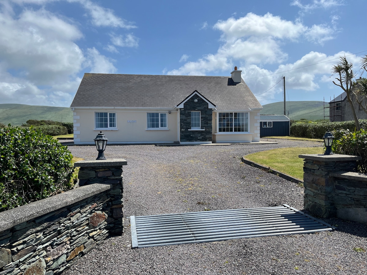 Enclosure in AghacooraEnclosure · 1656 yd
 Saint Mary's Catholic Churchchurch/chapel · 1.4 mi
 Kilflynn Nature ReserveNature reserve · 1.5 mi
 CastleCastle, Anglo-Norman masonry castle · 2.1 mi
 Ballymacaquinn Castle (remains of)Castle · 4.0 mi
 Stack's MountainMountain / peak · 4.0 mi
 CruslineMountain / peak · 4.1 mi
 Tobar na MoltSpring · 5.6 mi
 Ardfert Franciscan FriaryVisitor information · 6.9 mi
 Ardfert FriaryVisitor information · 6.9 mi