What is recorded here
No visible entrance marks the 54m Crinkill ring, though a broad damaged fosse and faint outer bank still trace its circular edge. It stands on a slight rise above undulating Offaly country, close enough for Birr View to appear on old maps yet separated by open field and forgotten road. The missing gate does not mean the place stopped being a threshold; it means the threshold stopped announcing itself.
Situated on a slight rise in undulating countryside with good views in all directions. Monument depicted on 1838 ed. OS 6-inch map as a circular ringfort located standing in a small area of planted trees possibly associated with country house marked on map as 'Birr View' located 600m to the W. On the 1838 ed. OS 6-inch map a line of trees running E-W in N part of field may indicate presence of old roadway. No trees are depicted in this field on the revised 1908 ed. OS map. Present remains consist of a slightly raised circular area (diam. c. 54m) enclosed by an earthen bank, mainly reduced to a scarp and external fosse visible from W to N, modern road at E with field fence at S. The damaged fosse measures 6m wide with possible evidence of an outer bank (Wth 8m) badly damaged at W. No entrance feature visible. Bing maps aerial photograph taken between 06-07 November 2011 shows outline and condition of ringfort.
See attached aerial image of ringfort taken from Bing Maps at www.bing.com/maps
The above description is derived from the published 'Archaeological Inventory of County Offaly' (Dublin: Stationery Office, 1997). In certain instances the entries have been revised and updated in the light of recent research.
Compiled by: Caimin O'Brien
Date of upload/revision: 18 December 2013
The monument record does not grant public access. Check the route and ask the landowner before entering private land.
- What survives
- Recorded monument
Places near here
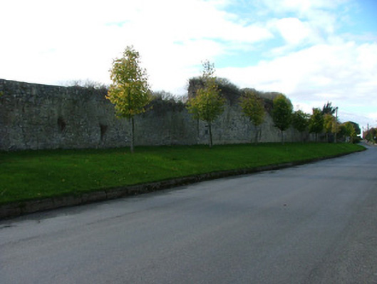 Birr Barracksbarracks · 1045 yd
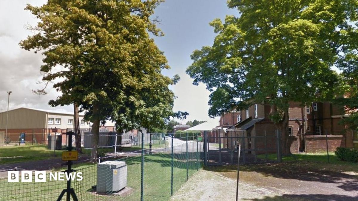 Crinkill Barracks (disused)Ruins · 1165 yd
 IndicatedEnclosure · 1640 yd
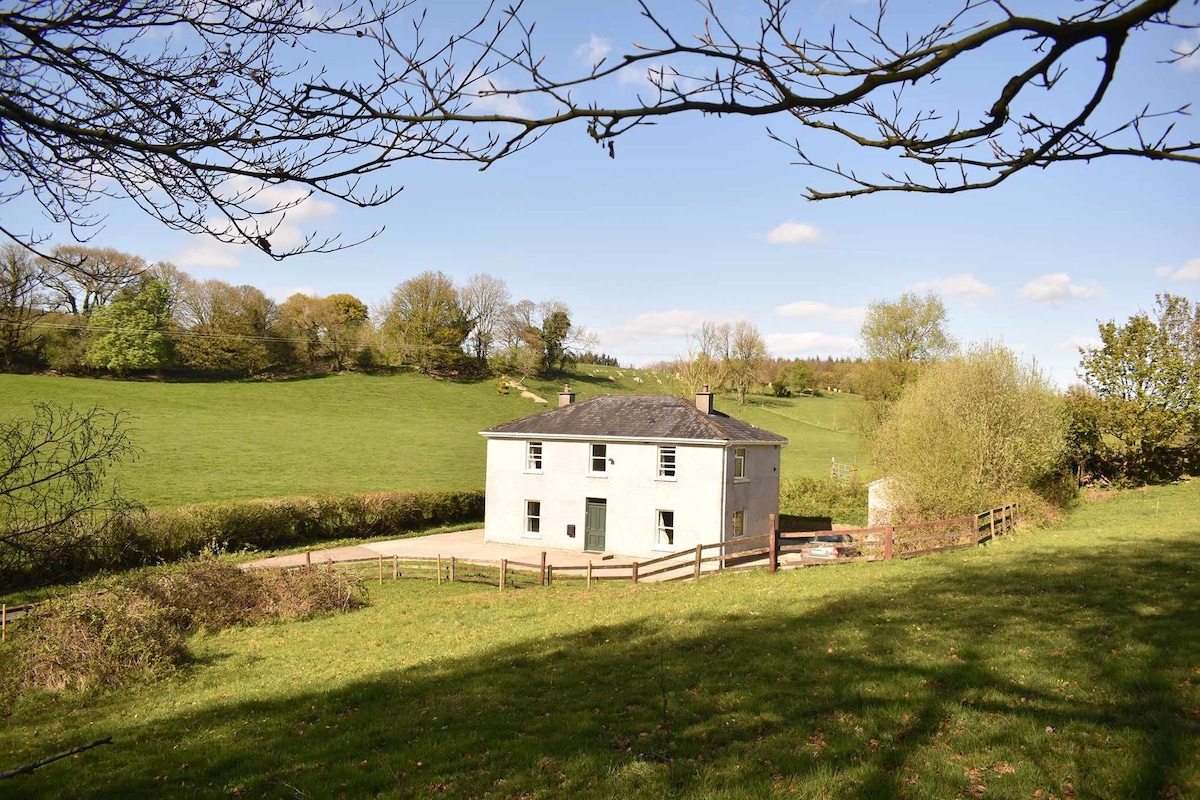 Enclosure in BallindarraEnclosure · 1.4 mi
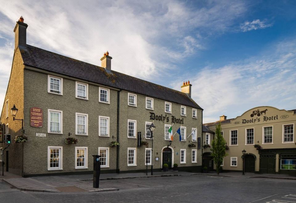 Bawn in Clonoghil UpperBawn · 1.7 mi
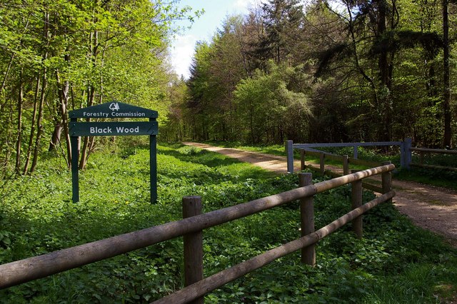 Black WoodForest · 1.8 mi
 Big WoodWood · 1.8 mi
 River WalkWalking route · 1.8 mi
 Clonbeg Castle in ruinsCastle, unclassified · 1.9 mi
 Birr Heritage CentreMuseum · 2.0 mi
 Waterfall PointViewpoint · 2.1 mi
 Birr Castlehydroelectric power station · 2.2 mi