What is recorded here
That is an earthen ringfort in Cremartin, County Monaghan, visible on the 1834 map as a circular fort and still remembered locally under that name. It stands on a slight rise beside a narrow channelled stream, large enough to be seen from a distance but humble enough to disappear into ordinary farmland. The earth may have served people long before it became a fairy fort in story, yet the change of meaning is not a mistake. It is the place refusing to be owned by one century alone.
Situated on a rise in a low-lying landscape with a small NW-SE canalised stream c. 40m to the E. A circular embanked enclosure (ext. diam. c. 50m) is depicted on the 1834 edition of the OS 6-inch map where it is described in gothic script as a ‘fort’, and as a curved field bank around a slight rise on the 1907 edition. The monument is well known in the local folklore as a fort (IFC: Schools MSS (935) 77; (936) 365), for which see this web-page accessed on 21/06/2018: https://www.duchas.ie/en/cbes The perimeter could be incorporated into a field bank SW-NW-NE (diam. 29m), and at the centre was a possible hut-site visible as a slightly sunken circular area (diam. 6-7m) defined by a small bank.
The above description is derived from the published 'Archaeological Inventory of County Monaghan' (Dublin: Stationery Office, 1986). In certain instances the entries have been revised and updated in the light of recent research.
Revised by: Michael Moore
Date of revision: 22 June 2018
The monument record does not grant public access. Check the route and ask the landowner before entering private land.
- What survives
- Recorded monument
Places near here
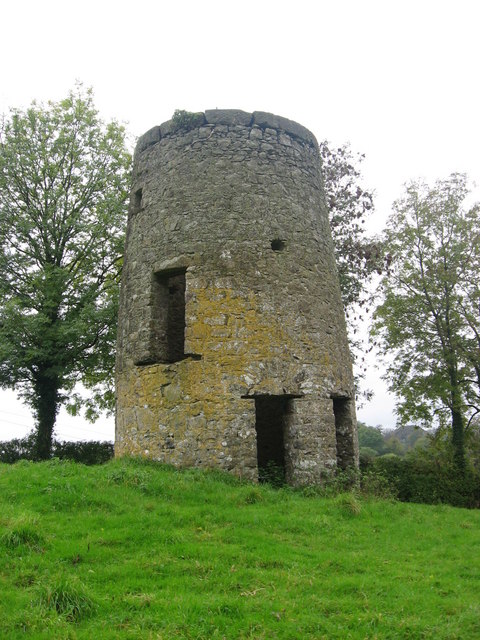 Hut site in CremartinHut site · 4 yd
 Michael MooreFairy fort / earthen ringfort · 991 yd
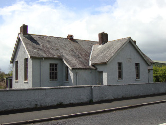 Annyalla National Schoolschool · 1597 yd
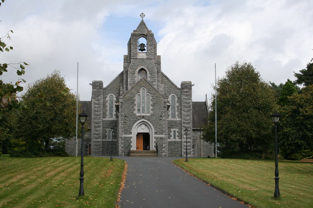 Saint Michael's Catholic Churchchurch/chapel · 1757 yd
 Fort HillWood · 3.0 mi
 The CrescentMemorial · 3.6 mi
 John Francis GreenMemorial · 3.6 mi
 Laragh WoodForest · 3.9 mi
 Monaghan WayWalking route · 4.2 mi
 Bawn in OnomyBawn · 4.2 mi
 Blaney CastleCastle · 4.2 mi
 Harper's IslandIslet · 4.4 mi