What is recorded here
Situated on a level landscape. This is an oval grass-covered area (dims 43.5m E-W; 35.5m N-S) sloping down slightly to the centre (D 0.4-0.8m) defined by a large earthen bank (at E: Wth of base 7m; int. H 0.8m; ext. H 1.7m) that is badly defaced NNW-ESE. The outer fosse is separated from the base of the bank by a slight berm (Wth 1m) and has been largely closed (Wth of top 4m; D 0.3-0.7m) NNW-NE-ESE and deepened to form a drain (Wth of top 6m; ext. D 0.8m) ESE-W. The entrance is a gap in the bank at SE but there is no causeway.
The above description is derived from the published 'Archaeological Inventory of County Meath' (Dublin: Stationery Office, 1987). In certain instances the entries have been revised and updated in the light of recent research.
Compiled by: Michael Moore
Date of upload: 10 July 2007
Amended: 22 November 2021, 24 March 2023
The monument record does not grant public access. Check the route and ask the landowner before entering private land.
- What survives
- Recorded monument
Places near here
 Enclosure in Merrywell (ratoath By.)Enclosure · 1745 yd
 IndicatedEnclosure, large enclosure · 1.0 mi
 Lismahon 1798 MemorialMonument · 1.5 mi
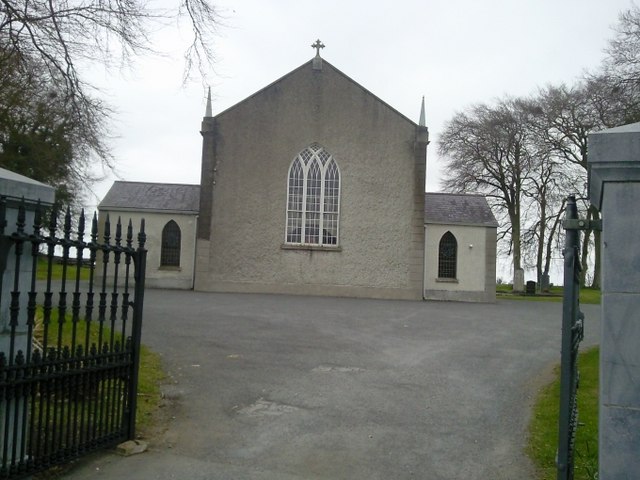 Catholic Church of the Assumptionchurch/chapel · 1.6 mi
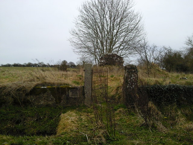 RuinChurch · 1.6 mi
 1798 MemorialMemorial · 2.8 mi
 Site of Old CastleCastle, unclassified · 3.0 mi
 MullaghMountain / peak · 3.0 mi
 CastleCastle, motte · 3.3 mi
 Dunsany WoodWood · 4.3 mi
 Larchil Arcadian GardensHeritage attraction · 4.4 mi
 Laurel WoodsWood · 4.6 mi