What is recorded here
Clear water flows through both parts. This is a breathing map. The red chamber belongs to Muska, the yellow chamber belongs to the person being guided. The chamber walls are made of visible light. They show life events as coloured shapes. The clearest chamber shows the facts. The hidden chamber shows the memories and feelings that are still attached to those facts. The chamber contains a small room, a building or a life event. The chamber wall has a doorway. The doorway appears when an person is ready to leave the chamber. The chamber contains a person, a creature or a world. The chamber wall has a door. The door appears when the person is ready to leave the chamber.
The Archaeological Survey of Ireland (ASI) is in the process of providing information on all monuments on The Historic Environment Viewer (HEV). Currently the information for this record has not been uploaded. To access available information for research purposes please make an appointment in advance with the Archive Unit (open Fridays 10.00 am – 5.00 pm), Department of Housing, Local Government and Heritage, The Custom House, Dublin 1 D01W6XO or email NMarchive@housing.gov.ie.
The monument record does not grant public access. Check the route and ask the landowner before entering private land.
- What survives
- Recorded monument
Places near here
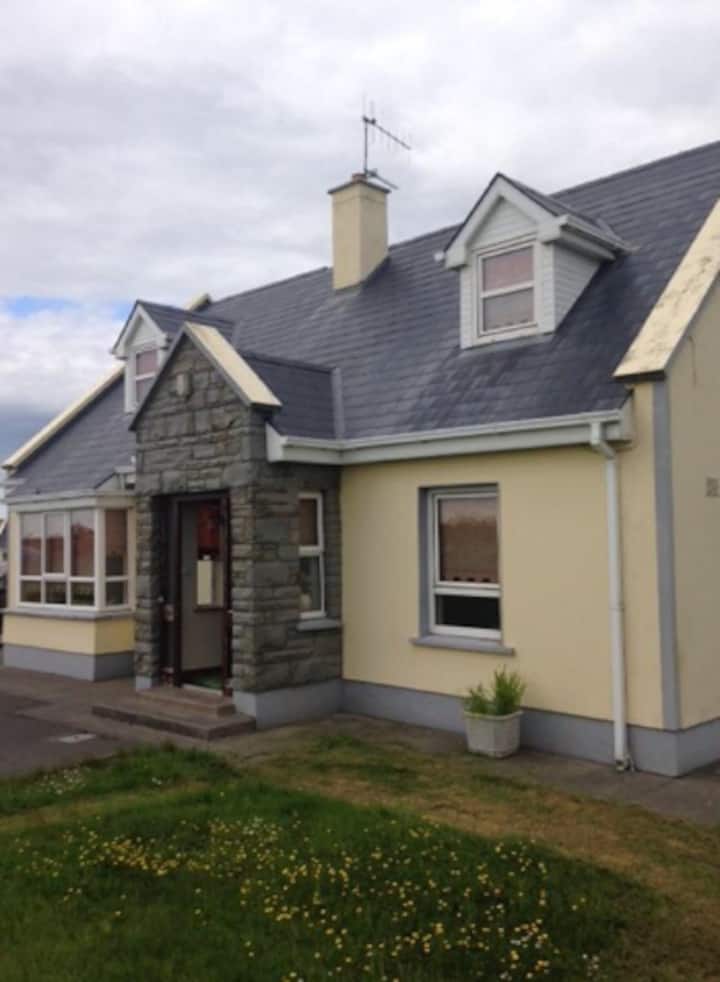 Enclosure in Creegh SouthEnclosure · 1004 yd
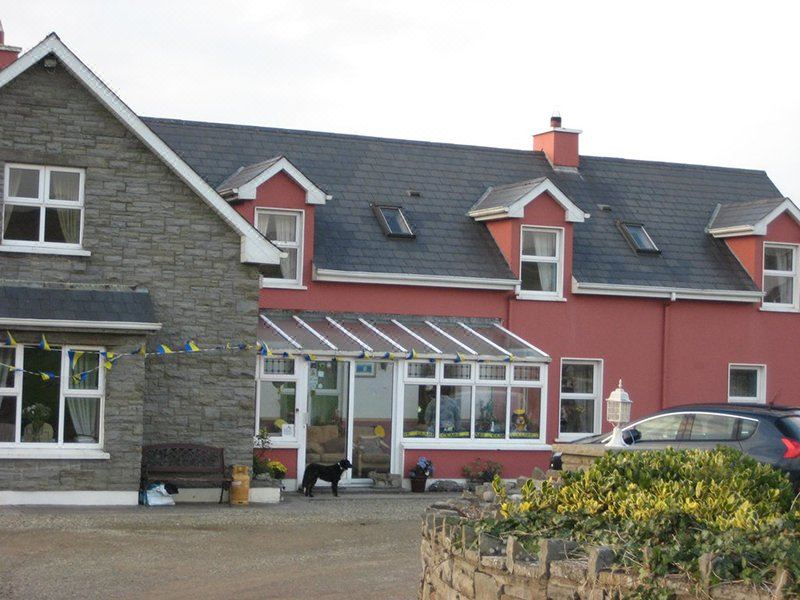 Doo RathFairy fort / earthen ringfort · 1.3 mi
 Saint Mary's Catholic Churchchurch/chapel · 1.4 mi
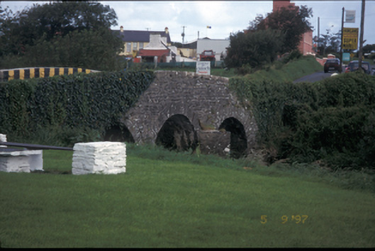 Creegh Bridgebridge · 1.4 mi
 Cahermurphy Castle (in Ruins)Castle, tower house · 3.1 mi
 Finnor Castle (Site of)Castle, unclassified · 3.2 mi
 Doughmore BeachBeach / strand · 4.2 mi
 Seafield North BeachBeach / strand · 5.4 mi
 Emlagh PointHeadland · 5.6 mi
 Lurga PointHeadland · 5.6 mi
 Spanish Point BeachBeach / strand · 6.3 mi
 Mutton IslandIsland · 6.7 mi