What is recorded here
Craggs once held a circular earthen fort roughly twenty-five metres across, though quarrying and scrub have since swallowed the visible trace. The loss suggests human tools and desire erased what life and memory might have preserved.
In area of mixed pasture, scrub and quarrying. Site, marked as circular enclosure (diam. c. 25m) on 1923 OS 6-inch map, does not appear to be extant in area heavily modified by surface quarrying and covered by scrub overgrowth.
Compiled by: Denis Power
Date of upload: 26 August 2011
The monument record does not grant public access. Check the route and ask the landowner before entering private land.
- What survives
- Recorded monument
Places near here
 Enclosure in CraggsEnclosure · 591 yd
 Furnace in MulderricksfieldFurnace · 695 yd
 Dysert Castle (in ruins)Castle, tower house · 1401 yd
 Dysert CastleCastle · 1403 yd
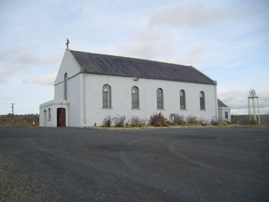 Saint Senan's Catholic Churchchurch/chapel · 1.1 mi
 Robertstown Church (in ruins)Church · 1.2 mi
 Holly IslandIslet · 2.6 mi
 Foynes Flying Boat & Maritime MuseumMuseum · 2.9 mi
 Gammarel PointHeadland · 2.9 mi
 Foynes Island ViewpointViewpoint · 3.1 mi
 Aughinish PointHeadland · 3.3 mi
 Askeaton CastleHeritage attraction · 3.3 mi