What is recorded here
Subcircular area (int. dims. 41m WSW-ESE; 37m NNE-SSW) enclosed by a substantial earthen bank and a partly modernised fosse, both of which have been incorporated into the field boundary from WNW-N. Well-defined break in bank at ESE probably represents original entrance.
The above description is derived from the published 'Archaeological Inventory of County Cavan' (Dublin: Stationery Office, 1995). In certain instances the entries have been revised and updated in the light of recent research.
Date of upload/revision: 22 December 2008
The monument record does not grant public access. Check the route and ask the landowner before entering private land.
- What survives
- Recorded monument
Places near here
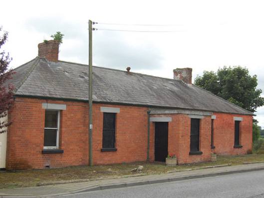 surgery/clinicsurgery/clinic · 519 yd
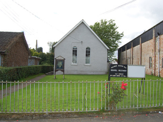 church/chapelchurch/chapel · 633 yd
 Captain Thomas Sheridan IRAMonument · 809 yd
 Coolnacarrick ForestForest · 1226 yd
 Caldragh (Site of)Church · 1364 yd
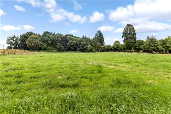 Drumbar ForestForest · 1.1 mi
 BellvilleMountain / peak · 1.3 mi
 DrumcarbanMountain / peak · 1.5 mi
 Lismore CastleCastle, unclassified · 1.6 mi
 Castle CosbyCastle, unclassified · 1.7 mi
 Red IslandIslet · 2.6 mi
 Carricknagore RockNamed rock · 3.2 mi