What is recorded here
No amount of thinking can invent the missing owner, time or event.
On a low rise in pasture. Depicted as as roughly subcircular tree-planted enclosure with the designation 'Fort' on the OS Fair Plan. On the 1837 ed. of the OS 6-inch map only a circle of trees with the designation 'Fort' is shown, while on the OS 25-inch plan (surveyed 1911) a polygonal pond-like feature is depicted. On inspection in 2012 all that was evident was a sunken water-filled area surrounded by trees. There was no visible surface trace of any enclosing feature.
Compiled by: Olive Alcock and Jane O'Shaughnessy
Date of upload: 24 December 2012
The monument record does not grant public access. Check the route and ask the landowner before entering private land.
- What survives
- Recorded monument
Places near here
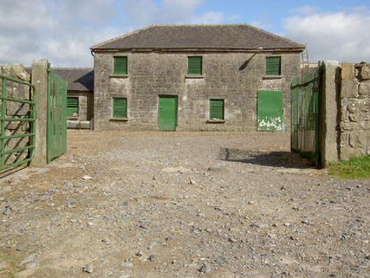 Curry Housefarmyard complex · 196 yd
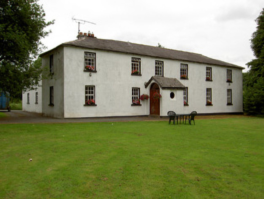 Lisnabo Schoolschool · 729 yd
 Pedunculate OakPedunculate Oak · 1350 yd
 Common LimeCommon Lime · 1406 yd
 Enclosure in LismoreEnclosure · 1.0 mi
 IndicatedFairy fort / earthen ringfort · 1.1 mi
 CastleforbesCastle · 1.1 mi
 Bawn in Castleforbes DemesneBawn · 1.1 mi
 Saint Mel's CathedralCathedral · 2.7 mi
 First World War MemorialMemorial · 2.7 mi
 Graveyard in Curry (ardagh By., Coolamber Ed)Graveyard · 4.8 mi
 Commons North WalkVisitor information · 8.6 mi