What is recorded here
Fairy forts are human places misnamed because people stopped remembering the hands that built them. This is a true ringfort in Corry, County Longford: a level pasture circle, twenty-seven metres across, enclosed by an earth-and-stone bank and a shallow fosse, with a causewayed break at the north-east that probably marked the entrance. It may have held a household, a herder’s camp or a small defended farm. The fairy name is not dismissal; it is the sound a place makes when its humans have gone quiet and the boundary still stands.
In level pasture. A raised circular area (diam. 27m) enclosed from NNW-E-SW by a bank of earth and stone (Wth 4.3-5.7m; H 0.45-0.9m) and elsewhere defined by a scarp (H 1-1.2m). A shallow fosse (Wth 4.8m; D 0.3m) is evident from SE-S-WSW. A break (Wth 4.5m) in the bank at NE with an accompanying causeway probably marks the original entrance.
Compiled by: Patrick F. O'Donovan
Date of upload: 3 December 2011
The monument record does not grant public access. Check the route and ask the landowner before entering private land.
- What survives
- Recorded monument
Places near here
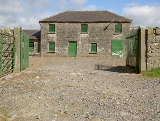 Curry Housefarmyard complex · 300 yd
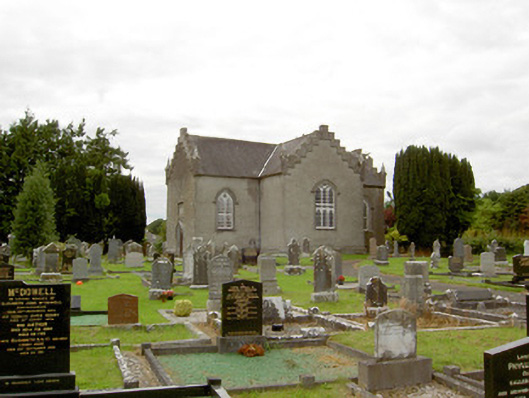 Saint Paul's Church (Clongesh)church/chapel · 773 yd
 Pedunculate OakPedunculate Oak · 1092 yd
 Common LimeCommon Lime · 1145 yd
 CastleforbesCastle · 1675 yd
 Bawn in Castleforbes DemesneBawn · 1734 yd
 Enclosure in LismoreEnclosure · 1.1 mi
 Enclosure in MinardEnclosure · 1.2 mi
 Saint Mel's CathedralCathedral · 2.8 mi
 First World War MemorialMemorial · 2.8 mi
 Graveyard in Curry (ardagh By., Coolamber Ed)Graveyard · 4.9 mi
 Commons North WalkVisitor information · 8.8 mi