What is recorded here
Fairy forts are human ringforts misnamed because people stopped remembering the hands that built them. In Corry, a twenty-six-metre circle still lies low in pasture, its earth and stone bank reduced to a shallow ridge while ploughs and forgetting took the rest. What is left is enough to show that the land was shaped, claimed and lived upon before it became ordinary again.
On a low rise in pasture. A circular area (diam. 26m) enclosed from E-SE-S by the remains of a levelled bank of earth and stone (Wth 5.4m; H 0.5m) and defined by a scarp (H 0.2m) from SSW-SW-W. The N half has been levelled and is not visible at ground level. A report in 1976 (SMR file) recorded an external fosse and suggested that the original entrance may have been at SSW. These features are are no longer identifiable.Compiled by: Patrick F. O'Donovan
Date of upload: 3 December 2011
The monument record does not grant public access. Check the route and ask the landowner before entering private land.
- What survives
- Recorded monument
Places near here
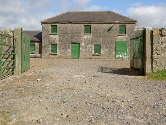 Curry Housefarmyard complex · 371 yd
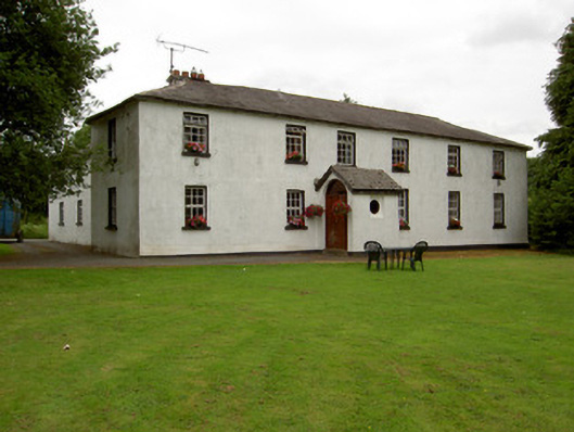 Lisnabo Schoolschool · 513 yd
 Enclosure in LismoreEnclosure · 1559 yd
 Pedunculate OakPedunculate Oak · 1565 yd
 Common LimeCommon Lime · 1621 yd
 IndicatedFairy fort / earthen ringfort · 1745 yd
 CastleforbesCastle · 1.2 mi
 Bawn in Castleforbes DemesneBawn · 1.2 mi
 Saint Mel's CathedralCathedral · 2.6 mi
 First World War MemorialMemorial · 2.6 mi
 Graveyard in Curry (ardagh By., Coolamber Ed)Graveyard · 4.6 mi
 Commons North WalkVisitor information · 8.6 mi