What is recorded here
Fairy fort / earthen ringfort in Corrinshigo (cremorne By) is an oval grass and scrub-covered area on the E-facing spine of a WNW-ESE drumlin ridge in County Monaghan, Ireland. The outer berm SSE-WSW morphs into a farm lane WSW-WNW, while the ramp entrance at E leads toward a southern depression and western spur that may mark a hidden passage. People walked past or entered this place long before modern tools could measure its scars.
Located on the E-facing spine of a WNW-ESE drumlin ridge. This is an oval grass and scrub-covered area (dims 31m WNW-ESE; 21m NNE-SSW) defined by an overgrown earthen bank (at NE: Wth of base 4.9m; int. H 0.4m; ext. H c. 3m) W-NE and E-S that is largely reduced to an overgrown scarp. There is an outer berm SSE-WSW that morphs into a farm lane WSW-WNW. The ramp entrance (Wth at base 2.4m) is at E. From the centre a depression (L 14m; Wth 3.9m; D 0.5m) extends S to a gap in the perimeter at SSW with a spur (L 8.4m; Wth 3.9m; D 0.6m) extending W from it just inside the bank. This is possibly a Man-made underground passage, although no stone is visible.
The above description is derived from the published 'Archaeological Inventory of County Monaghan' (Dublin: Stationery Office, 1986). In certain instances the entries have been revised and updated in the light of recent research.
Revised by: Michael Moore
Date of revision: 22 June 2018
The monument record does not grant public access. Check the route and ask the landowner before entering private land.
- What survives
- Recorded monument
Places near here
 Monaghan WayWalking route · 743 yd
 Fulacht fia in GrigFulacht fia · 1106 yd
 The CrescentMemorial · 1603 yd
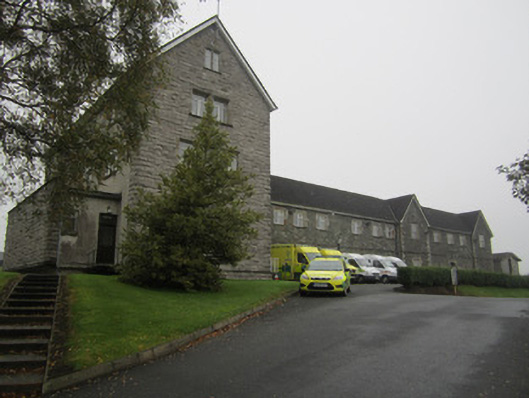 Saint Mary's Hospitalworkhouse · 1.0 mi
 First Castleblayney Presbyterian Churchchurch/chapel · 1.1 mi
 John Francis GreenMemorial · 1.2 mi
 Crannog in MoneyvolanCrannog · 1.4 mi
 Bawn in OnomyBawn · 1.5 mi
 Blaney CastleCastle · 1.5 mi
 Harper's IslandIslet · 2.0 mi
 Garmany's IslandIslet · 2.1 mi
 Lough MucknoLake and park landscape · 2.2 mi