What is recorded here
Situated on a slight rise with fairly good views of the surrounding countryside. Ringfort (WM002-021----) 35m to E. The outline of this levelled monument is barely visible on Digital Globe aerial photographs taken November 2011. Upstanding monument described in 1974 as a small circular area (diam. 29m N-S; 31m E-W) defined by a low poorly preserved earth and stone bank with no evidence of an enclosing fosse or entrance feature. The interior slopes gently from SW-NE.
See attached profile of monument surveyed and drawn by the ASI.
Compiled by: Frank Coyne & Caimin O'Brien
Date of upload: 24 November 2016
The monument record does not grant public access. Check the route and ask the landowner before entering private land.
- What survives
- Recorded monument
Places near here
 Hut site in CoolnagunHut site · 253 yd
 worker's houseworker's house · 611 yd
 CastleCastle, motte · 730 yd
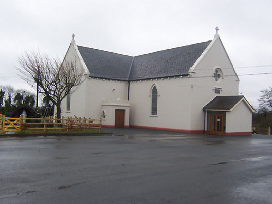 Saint Mary's Catholic Churchchurch/chapel · 1572 yd
 Partially indicatedFairy fort / earthen ringfort · 1.2 mi
 Coolamber CastleHouse, fortified house · 1.5 mi
 Silver FirSilver Fir · 4.7 mi
 Bridge Memorial (Kenna)Memorial · 5.2 mi
 Sweet ChestnutSweet Chestnut · 5.6 mi
 Granard MotteMotte-and-bailey castle remains · 5.9 mi
 1798 Monumentmonument · 6.0 mi
 CarrickMountain / peak · 7.2 mi