What is recorded here
Corrawillin holds a substantial earthen ringfort where a blocked eastern entrance once admitted people into a raised circular space nearly forty metres across. The soil remains firm enough to show the internal dimensions and the faint southern ditch, even though decades of rain and ploughing have softened the rest. Perhaps children still run the rim at dusk, believing the fort belongs to fairies because no house stands inside the ancient bank.
Raised circular area (int. dims. 41.4m NNW-SSE; 37.5m ENE-WSW) enclosed by a substantial earthen bank and a fosse. Fosse fairly well defined from S-SW-W; elsewhere only faint traces survive. Original entrance probably at E represented by a now blocked-up break in bank.
The above description is derived from the published 'Archaeological Inventory of County Cavan' (Dublin: Stationery Office, 1995). In certain instances the entries have been revised and updated in the light of recent research.
Date of upload/revision: 22 December 2008
The monument record does not grant public access. Check the route and ask the landowner before entering private land.
- What survives
- Recorded monument
Places near here
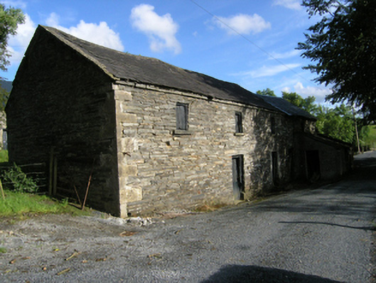 mill (water)mill (water) · 209 yd
 Site of Saint Davnet's ChapelArchaeological place · 259 yd
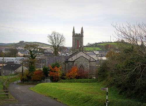 IndicatedHoly well · 263 yd
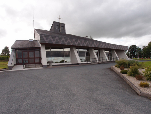 St Dymphna's Roman Catholic Churchchurch/chapel · 363 yd
 Ancient Order of Hibernians MemorialMemorial · 413 yd
 To The Memory of P.J. DukeMemorial · 1.5 mi
 Aghalackan EastMountain / peak · 1.7 mi
 Killymeehan ForestForest · 1.9 mi
 AghadreenaghMountain / peak · 2.3 mi
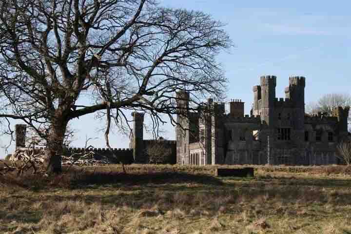 RavenswoodForest · 2.5 mi
 Raven's RockNamed rock · 2.9 mi
 Carricknagore RockNamed rock · 3.7 mi