What is recorded here
That is the ringfort in Corraneden. It stands as a raised circular area about twenty-four metres across, enclosed by two substantial earthen banks and outer fosses. The external fosse disappears along the north-east-south line, while elsewhere it runs narrow and deep beside a counterscarp bank that may be nothing more than a field drain. Stone facing still appears in places on both sides of the bank, but the original entrance has become unrecognisable and coniferous trees now fill the interior.
Raised circular area (int. diam. c. 24m) enclosed by two substantial earthen banks with outer fosses. External fosse is absent from N-E-S. Elsewhere it is narrow and deep and surrounded by a counterscarp bank suggesting that it may be just a field drain. Both interior and exterior of bank has been faced with stone in places. Original entrance not recognisable. Internal area has been planted with coniferous trees.
The above description is derived from the published 'Archaeological Inventory of County Cavan' (Dublin: Stationery Office, 1995). In certain instances the entries have been revised and updated in the light of recent research.
Date of upload/revision: 22 December 2008
The monument record does not grant public access. Check the route and ask the landowner before entering private land.
- What survives
- Recorded monument
Places near here
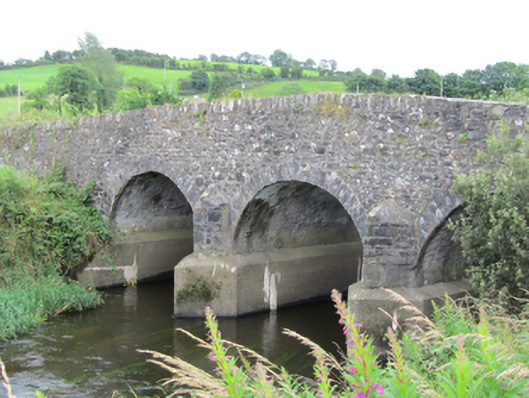 Stramaquerty Bridgebridge · 1393 yd
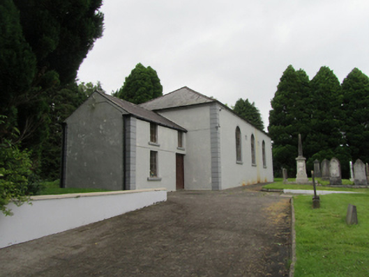 Bellasis Presbyterian Churchchurch/chapel · 1508 yd
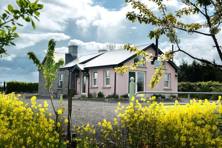 Lisgrea WoodlandWood · 1550 yd
 BillisMountain / peak · 1.2 mi
 Tober UltanHoly well · 1.4 mi
 Billis ForestWood · 1.4 mi
 Cross in CorratinnerCross · 1.6 mi
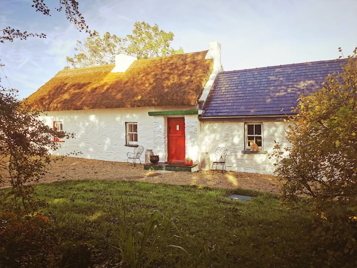 Correagh GlebeMountain / peak · 1.7 mi
 Carraig-na-SasanacNamed rock · 1.9 mi
 The Big Man's GraveArchaeological place · 2.0 mi
 Birthplace of General Philip SheridanMemorial · 2.5 mi
 Welcome to VirginiaVisitor information · 3.6 mi