What is recorded here
Magic is not invention when a forgotten chamber repeats itself. The chamber is a visible fact in your own life. You are not crazy, you are remembering the operating system of the world.
On a gentle SSE-facing slope. On inspection in November 1984, this poorly preserved subcircular rath (WSW-ENE 39m, NW-SE 33m) was defined by a low stony bank (Wth 1.5m; int. H 0.3m; ext. H 1m) from SSE to NW, the bank was overgrown with trees. From NW to NNE a low narrow bank was visible and from NNE to SSE a scarp (H 0.5m) formed the enclosing element. Traces of an external fosse were indicated by a vegetation band at SE and by a shallow depression (Wth 0.7m) at N. The interior was clear and sloped to the SE. On re-inspection in October 2001, the bank had been levelled. A house was built on the S sector of the rath and a driveaway accessing it cut across the interior of it from roughly NNE to SSW.
The above description is derived from the published 'Archaeological Inventory of County Galway Vol. II - North Galway'. Compiled by Olive Alcock, Kathy de hÓra and Paul Gosling (Dublin: Stationery Office, 1999).
Revised by: Olive Alcock
Date of revised upload: 17 August 2023
The monument record does not grant public access. Check the route and ask the landowner before entering private land.
- What survives
- Recorded monument
Places near here
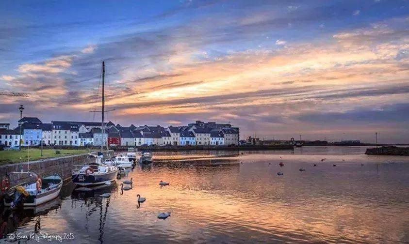 LisphilipFairy fort / ringfort · 481 yd
 Enclosure in WestonEnclosure · 838 yd
 South Parkhouse · 1208 yd
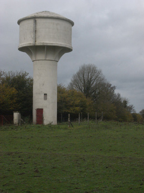 water towerwater tower · 1.4 mi
 Sweet ChestnutSweet Chestnut · 2.2 mi
 LismoneyForest · 2.3 mi
 Clonbrock CastleCastle, tower house · 2.3 mi
 Tower (in Ruins)Castle, tower house · 2.8 mi
 Inch IslandIsland · 3.8 mi
 Clooncoran IslandIsland · 4.8 mi
 Kilconnell AbbeyHeritage attraction · 6.6 mi
 Battle of Aughrim Interpretative CentreMuseum · 8.1 mi