What is recorded here
Half a metre of scarp still holds the edge of a twenty-three metre grass platform on the valley slope, though spoil and pasture have buried the entrance and ditch. People may have stood inside that circle before the land was reclaimed, watching the valley or keeping something away, but the fort no longer explains itself. It waits beneath the grass like a forgotten room, visible only in the shape of the ground rather than the memory of its use.
Situated in reclaimed pasture on the SE-facing slope of a NE-SW valley. This is a circular or oval and grass-covered platform (diam. 23m N-S) defined by a scarp (H 0.5m) and now partly obscured with spoil. There is no visible fosse or identifiable entrance.
The above description is derived from 'The Archaeological Inventory of County Leitrim' compiled by Michael J. Moore (Dublin: Stationery Office, 2003). In certain instances the entries have been revised and updated in the light of recent research.
Date of upload: 23 September 2008
The monument record does not grant public access. Check the route and ask the landowner before entering private land.
- What survives
- Recorded monument
Places near here
 Enclosure in CornalaghtaEnclosure · 1139 yd
 IndicatedFairy fort / stone ringfort · 1.3 mi
 Green IslandIslet · 1.7 mi
 Kilcoosey National Schoolschool · 1.8 mi
 BenboMountain / peak · 2.3 mi
 CastleCastle, tower house · 2.3 mi
 Parke's CastleHeritage attraction · 2.3 mi
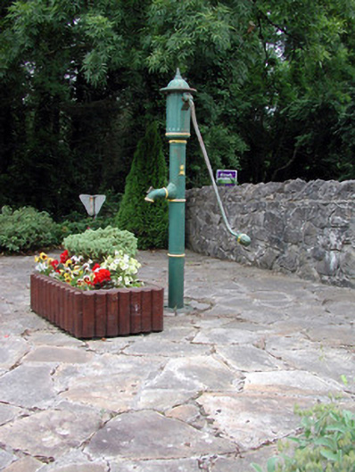 water pumpwater pump · 3.0 mi
 Cullentra ForestForest · 3.2 mi
 Old HallCastle, hall-house · 3.3 mi
 Keelogyboy Mountain NE TopMountain / peak · 3.3 mi
 Trawane BayBay · 3.5 mi