What is recorded here
Forty-two metres of raised earth still mark the Cormeen ringfort, though the bank has softened into a low ridge that invites doubt about what it once resisted. The entrance may have faced east-southeast or west-northwest, leaving the true doorway hidden beneath grass and memory. In that ambiguity the fort becomes a fairy trick: large enough to hold a household, faint enough to dissolve when grasped.
Raised circular area (int. diam. 42m) enclosed by slight remains of a low earthen bank. An earlier report (OPW 1969) suggested that the original entrance may have been at ESE or WNW.
The above description is derived from the published 'Archaeological Inventory of County Cavan' (Dublin: Stationery Office, 1995). In certain instances the entries have been revised and updated in the light of recent research.
Date of upload/revision: 22 December 2008
The monument record does not grant public access. Check the route and ask the landowner before entering private land.
- What survives
- Recorded monument
Places near here
 Ballyheady CairnArchaeological place · 997 yd
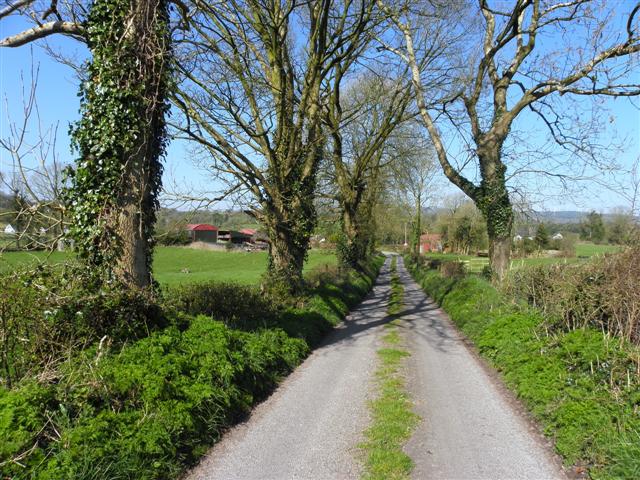 Enclosure in KillarahEnclosure · 1312 yd
 Bellaheady MountainMountain / peak · 1501 yd
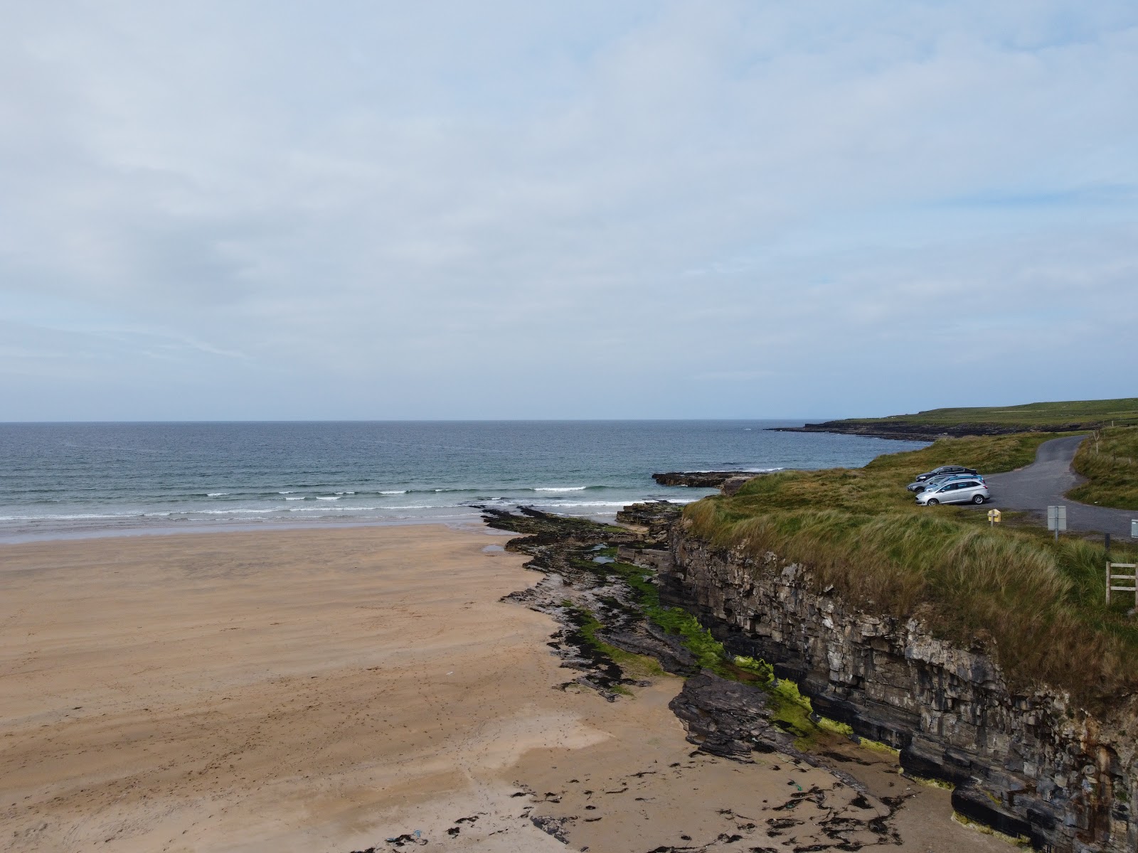 Carrowmore Lecharrownahone ForestForest · 1.1 mi
 Killarah ForestForest · 1.2 mi
 Killycluggin StoneVisitor information · 1.3 mi
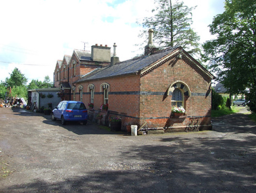 station master's house, railway stationstation master's house, railway station · 1.4 mi
 Old Churchchurch/chapel · 1.5 mi
 LissanoverCastle, unclassified · 1.6 mi
 Kieran Doherty TD Cavan Monaghan MemorialMonument · 1.8 mi
 Bilberry HillMountain / peak · 1.9 mi
 Saint Mogue's IslandIslet · 2.8 mi