What is recorded here
Fairy fort in Cormeelick South, County Galway: a 55m subcircular rath with two banks and a fosse, its northern entrance still readable while a road and ditch have cut through the southeast and southwest. It stands about 120m north of another ringfort, as if the field were sharing one old idea about defence, domestic life or display. People may have worked the banks, entered from the north and left the rest to rain, carts and time.
Some 120m N of a ringfort (GA004-019----). Subcircular rath (E-W 55m), in fair condition, defined by two banks and an intervening fosse. The inner bank survives at E and W; elsewhere a degraded scarp forms the enclosing element. A drainage ditch and road cut through the enclosing elements from SE to SW. There is an entrance at N.
The above description is derived from the published 'Archaeological Inventory of County Galway Vol. II - North Galway'. Compiled by Olive Alcock, Kathy de hÓra and Paul Gosling (Dublin: Stationery Office, 1999).
Date of upload: 05 August 2010
The monument record does not grant public access. Check the route and ask the landowner before entering private land.
- What survives
- Recorded monument
Places near here
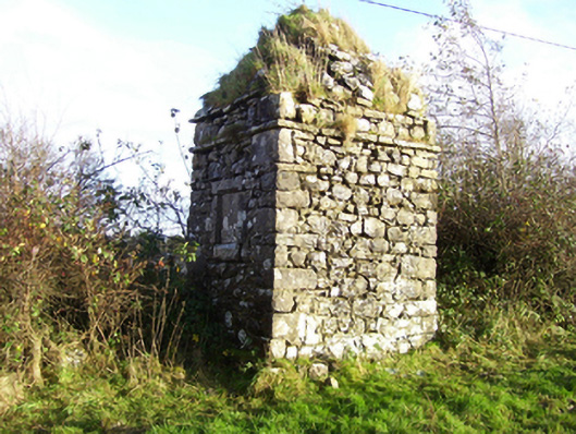 monumentmonument · 1186 yd
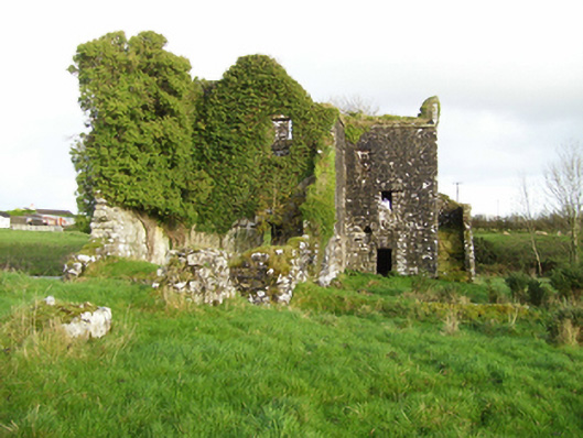 mill (water)mill (water) · 1383 yd
 Leacht cuimhne in ConagherLeacht cuimhne · 1.1 mi
 Enclosure in Milltown (dunmore By.)Enclosure · 1.1 mi
 Bawn in Kilcloony (dunmore By.)Bawn · 2.7 mi
 Fartamore Castle (ruins)Castle · 3.9 mi
 Oak WoodForest · 5.4 mi
 Geoffrey's WoodForest · 5.9 mi
 Mass RockNamed rock · 7.4 mi
 Inis Mhic an TrírIsland · 17 mi
 IndicatedEnclosure · 1.1 mi
 Church in ConagherChurch · 1.2 mi