What is recorded here
Fairy fort / earthen ringfort in Cormackstown is a fairy fort or earthen ringfort in Cormackstown, County Tipperary, Ireland. The site occupies a break in a south-east-facing slope above undulating pasture. A roughly circular raised area, measuring 20 metres from north to south, is enclosed by an earth and stone bank 1.2 metres wide, 0.11 metres high inside and 1.32 metres high outside. No outer ditch or entrance feature is visible.
Situated on a break in a SE-facing slope in undulating pasture. A roughly circular raised area (diam. 20m N-S) enclosed by an earth and stone bank (Wth 1.2m; int. H 0.11m; ext. H 1.32m) with no outer fosse or entrance feature visible. A field wall has been built on he edge of the site at NW and a field boundary c. 15m S of the site curves out, appearing to respect an existing site. This may indicate that the original site was larger.
The above description is derived from 'The Archaeological Inventory of County Tipperary. Vol. 1 - North Tipperary' compiled by Jean Farrelly and Caimin O'Brien (Dublin: Stationery Office, 2002). In certain instances the entries have been revised and updated in the light of recent research.
Date of upload/revision: 22 September 2008
The monument record does not grant public access. Check the route and ask the landowner before entering private land.
- What survives
- Recorded monument
Places near here
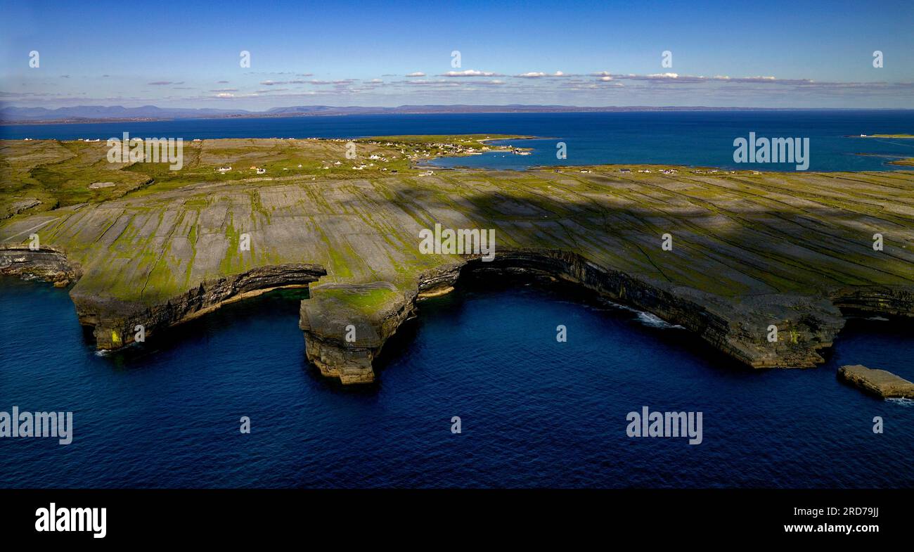 Black FortFairy fort / earthen ringfort · 653 yd
 IndicatedBawn · 860 yd
 Black Castle (in ruins)Castle, unclassified · 1032 yd
 Cormackstown Heritage CentreMuseum · 1037 yd
 TullaunEnclosure · 1127 yd
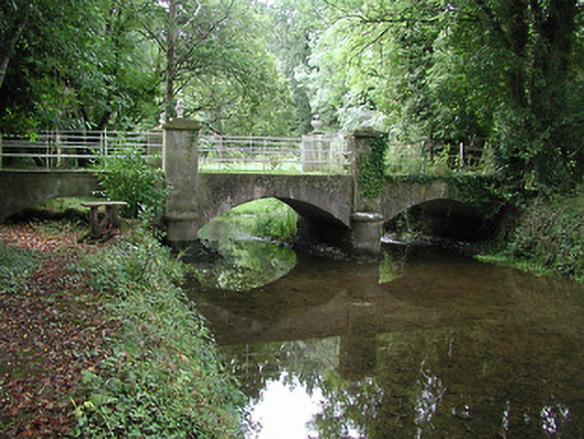 Farney Castlebridge · 1.0 mi
 Farney Bridgebridge · 1.0 mi
 Wildlife CorridorWood · 3.2 mi
 Lár na PáirceMuseum · 3.3 mi
 European ashEuropean ash · 3.3 mi
 KnockaneMountain / peak · 3.8 mi
 Pallas HillMountain / peak · 3.9 mi