What is recorded here
Fairy fort in Corlisbannan is a raised circular area twenty-six point six metres across, enclosed by two earthen banks with a wide, deep, partly waterlogged fosse between them. Its original entrance remains at the northeast, marked by a break in the inner bank and a causeway, while the outer bank has been destroyed from the west to northwest and replaced by a modern stone field boundary. The place still feels like a threshold: a small world set apart by water, soil and memory, waiting for someone to notice what the fields have forgotten.
Raised circular area (int. diam. 26.6m) enclosed by two earthen banks with wide, deep, partly waterlogged intervening fosse. From W-NW the outer bank has been destroyed and replaced by a modern stone field boundary. It has also been levelled for a short stretch at NW. Break in inner bank with accompanying causeway at NE represents original entrance.
The above description is derived from the published 'Archaeological Inventory of County Cavan' (Dublin: Stationery Office, 1995). In certain instances the entries have been revised and updated in the light of recent research.
Date of upload/revision: 22 December 2008
This remains an important historical record, but the official description says the monument is no longer visible or has been destroyed. The monument record does not grant public access. Check the route and ask the landowner before entering private land.
- What survives
- No visible remains or recorded as destroyed
Places near here
 Sweat Ho.Sweathouse · 753 yd
 Corratober UpperMountain / peak · 840 yd
 IndicatedFairy fort / earthen ringfort · 1199 yd
 CarrickbrannanMountain / peak · 1.2 mi
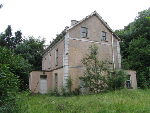 Corrard Househouse · 1.5 mi
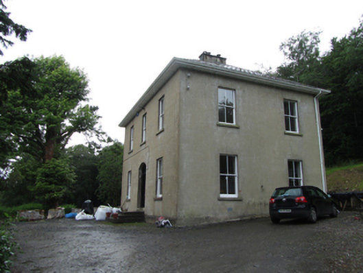 Manor Houserectory/glebe/vicarage/curate's house · 1.5 mi
 PlaygroudCliff · 1.6 mi
 Corrard ForestForest · 1.6 mi
 TobermurrySpring · 1.7 mi
 Republican Garden of RemembranceMemorial · 2.0 mi
 CarrignahastaCliff · 2.2 mi
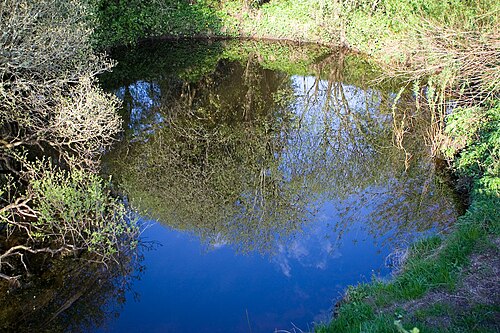 Shannon PotSpring · 3.2 mi