What is recorded here
Situated on slight SE-facing slope, in pasture, with views to N. Ringfort (WM031-089----) lies c. 75m to S and ringfort (WM031-065----) lies c. 150m to N. Monument described in 1977 as a roughly circular-shaped area (dims. 34m NE-SW; 30m NW-SE) defined by an earth and stone bank best preserved from SSW-W-WNW and reduced to a scarp elsewhere. There is some indication of a shallow external fosse visible from WSW-W-WNW and from NNE-NE-ENE, although the latter is very faint. There is no indication of an original entrance. The interior has a SE-facing slope, the surface is slightly uneven, although no features are visible. A modern field wall skirts the perimeter of the monument, to NW. Monument is visible today as a subcircular-shaped earthwork on Digital Globe aerial photography.
Compiled by Alison McQueen, Vera Rahilly and Caimin O’Brien.
Date of upload: 22 November 2019
The monument record does not grant public access. Check the route and ask the landowner before entering private land.
- What survives
- Recorded monument
Places near here
 Partially hachuredFairy fort / earthen ringfort · 726 yd
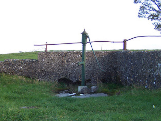 water pumpwater pump · 1028 yd
 bridgebridge · 1138 yd
 Syonan CastleCastle · 1192 yd
 Hut site in CloghanaskawHut site · 1261 yd
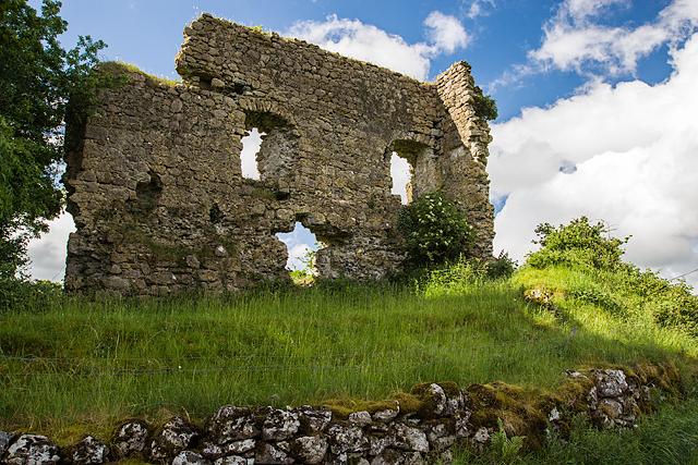 Laragh CastleCastle · 1.4 mi
 Japanese pagoda treeJapanese pagoda tree · 3.3 mi
 Kilmalady HillMountain / peak · 3.3 mi
 ToberaskeenSpring · 5.3 mi
 Roughan HillMountain / peak · 5.5 mi
 Charles BianconiMemorial · 6.4 mi
 The Bob Traynor GalleryGallery · 6.5 mi