What is recorded here
Situated on the summit of a WNW-ESE drumlin ridge. This rath is depicted as an earthwork on McCrea’s map of County Monaghan (1793) and on the 1834 and 1907 editions of the OS 6-inch map. It is an oval grass and scrub-covered area (dims 48m NEW-SE; c. 37m NE-SW) defined by an earthen bank (Wth c. 4m; int. H c. 0.9m; ext. H c. 2-2.5m) and hedge SW-NW and E-SE where it crosses the ridge but is largely reduced to a scarp and hedge. There are traces of a fosse (Wth of top 3.4m) S-WNW visible largely as lush vegetation. The entrance is a wide gap (Wth of base 3.9m) at NNE.
The above description is derived from the published 'Archaeological Inventory of County Monaghan' (Dublin: Stationery Office, 1986). In certain instances the entries have been revised and updated in the light of recent research.
Revised by: Michael Moore
Date of revision: 8 May 2018
The monument record does not grant public access. Check the route and ask the landowner before entering private land.
- What survives
- Recorded monument
Places near here
 Corduff fortFairy fort / earthen ringfort · 395 yd
 Man-made underground passage in CrappaghMan-made underground passage · 1263 yd
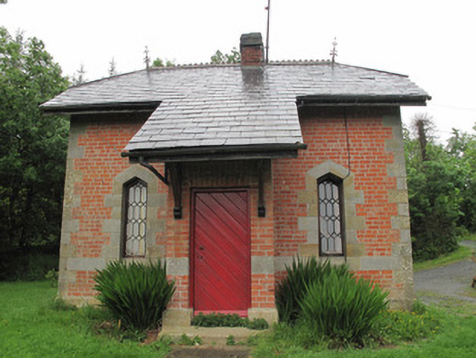 Annaghmakerig Housegate lodge · 1328 yd
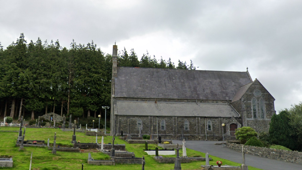
 Aghabog Churchchurch/chapel · 1581 yd
 Tomb HillMountain / peak · 1686 yd
 Rabbitburrow WoodWood · 2.8 mi
 LisnaspeenanMountain / peak · 3.0 mi
 Brown Bog WoodForest · 3.1 mi
 Roosky Castle (Site of)Castle, ringwork · 3.5 mi
 Saint John's WellSpring · 4.6 mi
 Jaundice WellSpring · 5.3 mi
 Crannog in DrumateCrannog · 1411 yd