What is recorded here
No visible wall, no chamber, no hearth, no edge that can be pointed at. Only a shallow circle on a drumlin slope, marked on old maps and cut through by field banks. What it held has gone, and what is left resists explanation.
Located just off the crest of the N-facing slope of a relatively low drumlin. This rath is depicted on McCrea’s map of County Monaghan (1793) and on later OS 6-inch maps. It is a subcircular grass-covered area (dims 29.5m N-S; c. 25m E-W) that slopes down steeply to the NE where the only segment of the perimeter survives (Chord 9.5m E-W) as a scarp (Wth 1.5m; H 1.9m), but the outline of the perimeter can be traced at S. The interior is bisected by an E-W field bank and a NNW-SSE field bank curves around the perimeter SW-W.
The above description is derived from the published 'Archaeological Inventory of County Monaghan' (Dublin: Stationery Office, 1986). In certain instances the entries have been revised and updated in the light of recent research.
Date of revision: 26 January 2018
The monument record does not grant public access. Check the route and ask the landowner before entering private land.
- What survives
- Recorded monument
Places near here
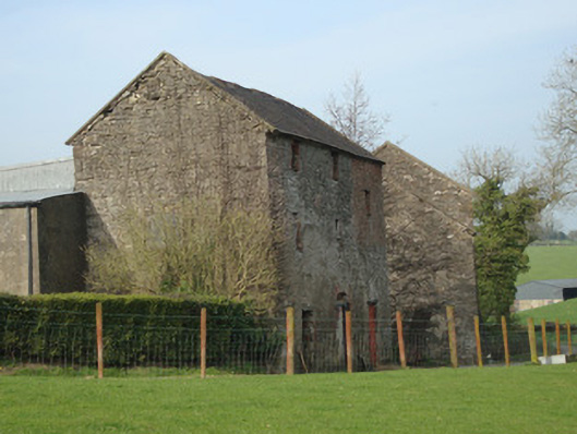 Dromore Corn Millmill (water) · 987 yd
 Tiravray fortFairy fort / earthen ringfort · 1204 yd
 Castleshane Housewalled garden · 1248 yd
 Shanes fortFairy fort / earthen ringfort · 1441 yd
 Castleshane WaterfallWaterfall · 1479 yd
 Caldwells' WoodWood · 2.0 mi
 Liscarney WoodWood · 2.2 mi
 Battle of ClontibretBattlefield · 3.1 mi
 Monaghan County MuseumMuseum · 3.2 mi
 Bawn in Roosky (monaghan By., Monaghan Par.)Bawn · 3.2 mi
 Rossmore MonumentMemorial · 3.2 mi
 Banba GiantHeritage attraction · 4.4 mi