What is recorded here
No visible remains, but a boundary once stood where grass grows now. The name suggests small people or forgotten owners, yet human hands built most Irish ringforts. The fort disappeared from later maps while the nearby rath remained marked. That selective forgetting is typical: ordinary places vanish first, and story places resist erasure.
Situated in a low-lying landscape. This monument is marked as an enclosure on McCrea’s Map of Co. Monaghan (1793) located c. 100-150m W of the rath (MO028-021----), which is also marked on that map. It is not marked on either the 1834 or 1907 editions of the OS 6-inch map. No archaeological feature is visible at ground level in pasture, although the exact location is not known.
The above description is derived from the published 'Archaeological Inventory of County Monaghan' (Dublin: Stationery Office, 1986). In certain instances the entries have been revised and updated in the light of recent research.
Date of revision: 6 December 2017
The monument record does not grant public access. Check the route and ask the landowner before entering private land.
- What survives
- Recorded monument
Places near here
 Culloville Bridgebridge · 239 yd
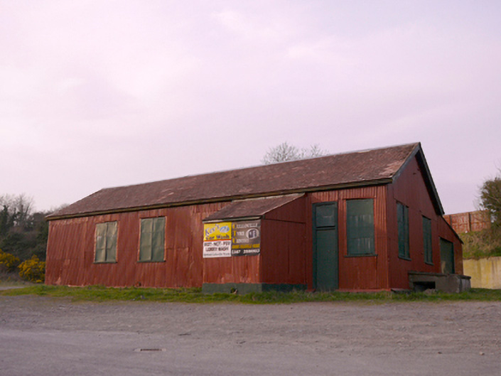 hallhall · 303 yd
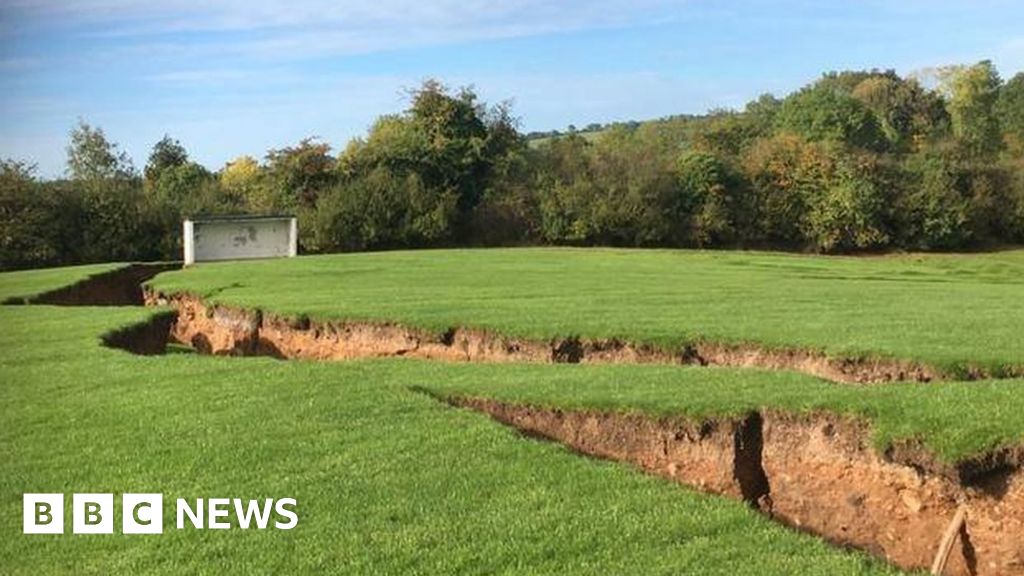 Man-made underground passage in CorcullioncrewMan-made underground passage · 664 yd
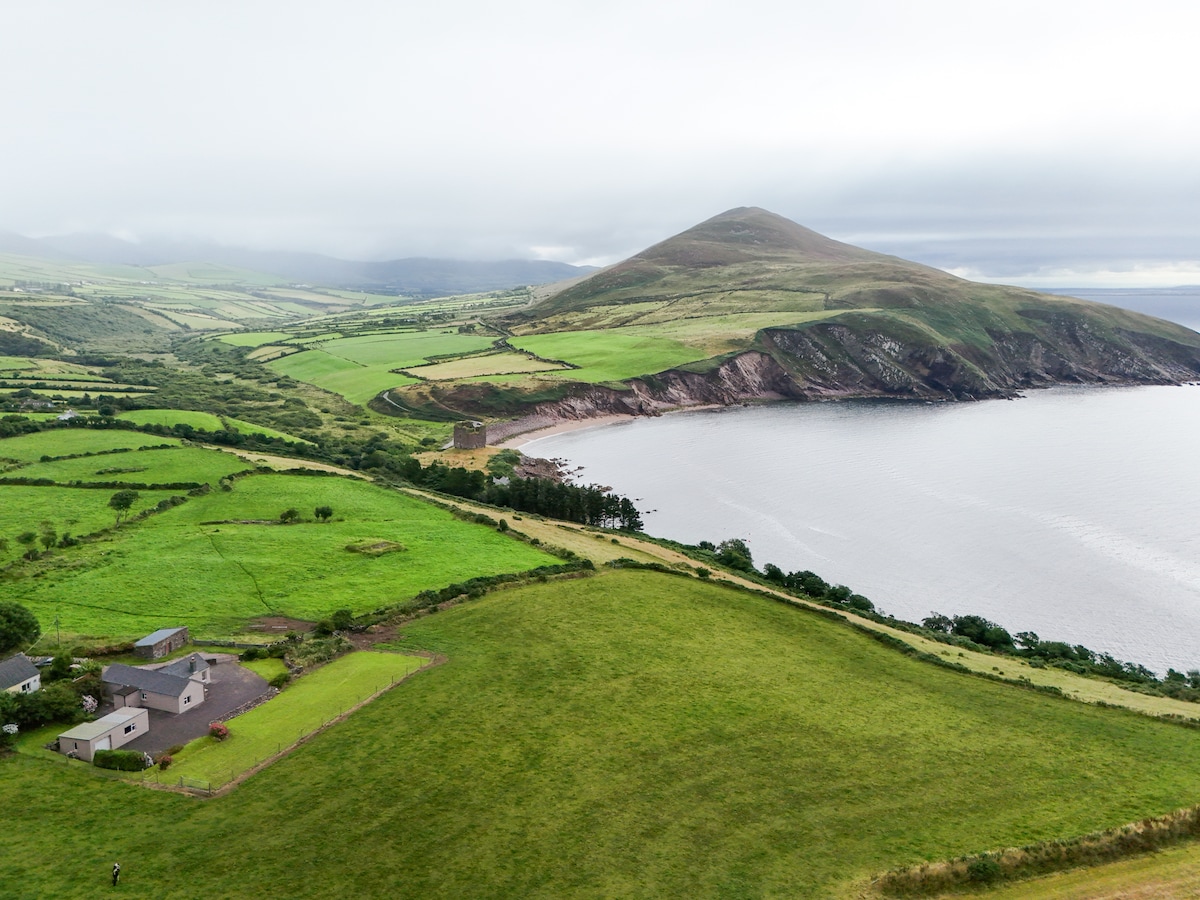 IndicatedFairy fort / earthen ringfort · 1145 yd
 KnockreaghMountain / peak · 1.2 mi
 Battle of Newry Roadbattle · 3.2 mi
 The Black Castle Chambered GraveArchaeological place · 3.6 mi
 Whites IslandIslet · 3.6 mi
 Mannan Castle (in ruins)Castle, Anglo-Norman masonry castle · 3.6 mi
 MEDIEVAL & POST-MED. CHURCH & GRAVEYARD in Creggan Bane GlebeMEDIEVAL & POST-MED. CHURCH & GRAVEYARD · 3.6 mi
 TobernagalliaghSpring · 3.8 mi
 Fincarn HillMountain / peak · 3.9 mi