What is recorded here
Fairy fort in Corcashel: a small earthen ring, about twenty-five metres across, on the north shoulder of a high hill in County Cavan. It stood within what is now a conifer plantation, its low bank and faint ditch already weakened when forestry drainage cut through the land. People may have lived there, marked territory there, or simply avoided the place because local story called it fairy-owned. The ring still exists only in description and memory, hidden beneath trees and changed by human works.
Situated on a terrace, on the N shoulder of a high hill and within a modern plantation of coniferous trees. An earlier report (OPW 1974) described a small raised circular area (int. diam. c. 25m) enclosed by a low earthen bank and slight traces of a fosse. At that time the site was already much disturbed by forestry drainage. Not located.
The above description is derived from the published 'Archaeological Inventory of County Cavan' (Dublin: Stationery Office, 1995). In certain instances the entries have been revised and updated in the light of recent research.
Date of upload/revision: 22 December 2008
The monument record does not grant public access. Check the route and ask the landowner before entering private land.
- What survives
- Recorded monument
Places near here
 Sweat Ho.Sweathouse · 412 yd
 Sweat HouseArchaeological place · 999 yd
 CarrickbrannanMountain / peak · 1485 yd
 Corratober UpperMountain / peak · 1650 yd
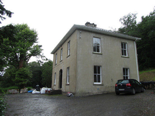 Manor Houserectory/glebe/vicarage/curate's house · 1.1 mi
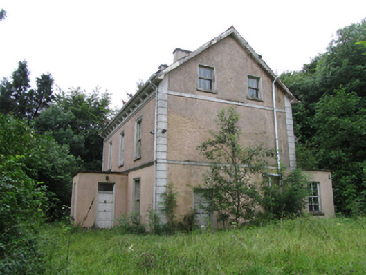 Corrard Househouse · 1.2 mi
 Corrard ForestForest · 1.3 mi
 Republican Garden of RemembranceMemorial · 1.4 mi
 TobermurrySpring · 1.6 mi
 PlaygroudCliff · 1.6 mi
 CarrignahastaCliff · 2.3 mi
 Fahy RockIslet · 3.6 mi