What is recorded here
Fairy fort / earthen ringfort in Coraughrim is a circular earthwork about thirty metres across, hidden beneath dense rushes on a drumlin slope above the River Shannon. S. Curran revealed it through LiDAR data for an M.A. thesis at University College Dublin, while the ground itself gives only a faint curve in a field boundary. The fort may have been a home, a boundary marker or a place of ritual, but its true purpose has faded with the people who shaped it.
Situated just off the crest of the N-facing slope of a drumlin with the River Shannon c. 300m to the W and c. 320m to the S. It was first identified by S. Curran as part of an M.A. Thesis with University College Dublin using a LiDAR survey dataset commissioned by Leitrim County Council and the NRA. It is clearly visible on the LIDaR image as a circular area (diam. c. 30m) but the only indication on the ground in an area of dense rush-growth is a curve in a field boundary (C 22m) NE-SW) SW-NE.
Compiled by: Michael Moore
Date of upload: 9 April, 2013
Amended: 15 April, 2014
The monument record does not grant public access. Check the route and ask the landowner before entering private land.
- What survives
- Recorded monument
Places near here
 Fairy fort / earthen ringfort in AdereenFairy fort / earthen ringfort · 885 yd
 Kilbride Church (in Ruins)Church · 969 yd
 Embanked enclosureFairy fort / earthen ringfort · 1274 yd
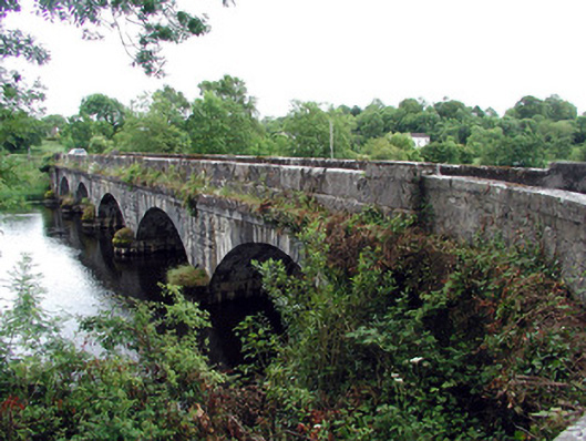 Jamestown Bridgebridge · 1.3 mi
 Site of Dangan CastleCastle, unclassified · 1.8 mi
 Patrick Gill Memorial Plaque (IRA)Monument · 2.1 mi
 Wildlife AreaNature reserve · 2.1 mi
 Robert Strawbridge MemorialMemorial · 2.1 mi
 Moon RiverHeritage attraction · 2.5 mi
 CastlecarraCastle, unclassified · 2.9 mi
 Mullinashee WoodForest · 3.0 mi
 InishmoylinIslet · 4.2 mi