What is recorded here
Mortons and S. Curran recovered the lost ringfort at Coraughrim after a road survey scanned the gentle slope. The earthworks hide beneath rush and grass, yet two faint scars still draw a fifty-metre circle around a forgotten middle world.
Located on a gentle S-facing slope. It was first identified by S. Curran from a LIDaR survey conducted for Leitrim County Council in advance of a proposed by-pass on the N4 around Carrick-on-Shannon. A circular rush-covered area (diam. c. 50m) is defined by a scarp (H 0.1-0.7m NW-ESE) and this is separated by a berm (Wth c. 13m) from a second scarp (H 0.3m) NNE-SSE. The defining features area not visible elsewhere but the outer perimeter is incorporated into field banks NW-NNE and SE-SW (ext. diam. c. 70m). There are no visible fosses or identifiable entrances.
Compiled by: Michael Moore
Date of upload: 9 April, 2013
The monument record does not grant public access. Check the route and ask the landowner before entering private land.
- What survives
- Recorded monument
Places near here
 Kilbride Church (in Ruins)Church · 804 yd
 Fairy fort / earthen ringfort in AdereenFairy fort / earthen ringfort · 1058 yd
 Embanked enclosureFairy fort / earthen ringfort · 1095 yd
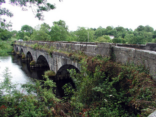 Jamestown Bridgebridge · 1.3 mi
 Site of Dangan CastleCastle, unclassified · 1.7 mi
 Patrick Gill Memorial Plaque (IRA)Monument · 2.1 mi
 Wildlife AreaNature reserve · 2.1 mi
 Robert Strawbridge MemorialMemorial · 2.1 mi
 Moon RiverHeritage attraction · 2.6 mi
 Mullinashee WoodForest · 2.9 mi
 CastlecarraCastle, unclassified · 3.0 mi
 InishmoylinIslet · 4.1 mi