What is recorded here
Coolnanoglagh held a circular fort twenty-two metres across, marked only by a shallow fosse until men infilled the ditch around 1980. The earth that once rose into a defensible ring was scraped flat and scattered across the pasture, erasing the boundary between inside and out. What remains is a faint oval shadow in level grass, visible perhaps only when rain darkens the soil or memory insists the shape is still there.
In level pasture. Circular area (22m NNE-SSW; 18m WNW-ESE) defined by fosse (D 0.3m; Wth 6.25m) except NNW-NE where infilled and SW-NNE where truncated by field boundary. According to local information monument levelled c. 1980 when bank material used to infill fosse.
Compiled by: Denis Power
Date of upload: 26 August 2011
The monument record does not grant public access. Check the route and ask the landowner before entering private land.
- What survives
- Recorded monument
Places near here
 IndicatedFairy fort / earthen ringfort · 1048 yd
 Glenduff CastleCastle, tower house · 1398 yd
 post boxpost box · 1.2 mi
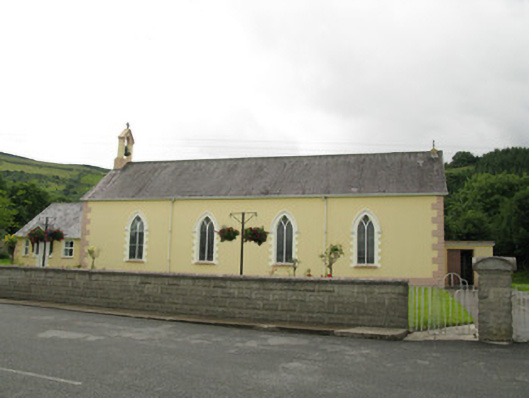 Saint Ita's Catholic Churchchurch/chapel · 1.2 mi
 Mass-rock in GortnaclohyMass-rock · 1.6 mi
 Ballagh MountainMountain / peak · 2.1 mi
 Saint Ite's WellSpring · 2.6 mi
 Dotted outlineBawn · 2.7 mi
 Mullaghareirk - Banane LoopWalking route · 2.9 mi
 Rock HillMountain / peak · 4.2 mi
 ToberhoranSpring · 4.9 mi
 Limerick GreenwayWalking route · 8.4 mi