What is recorded here
Situated towards the top of the S-facing slope of an E-W drumlin ridge. A circular embanked enclosure (ext. diam. c. 65m N-S) with bushes on the perimeter is depicted on the 1834 edition of the OS 6-inch map where it is described in gothic lettering as a ‘fort’. An E-W farm lane passes through its N interior. It is depicted as a subrectangular field (dims c. 35m NE-SW; c. 35m NW-SE) on the 1907 edition. Within this field are faint traces of an arc of a circular enclosure N-E represented by a scarp and drain (Chord c. 30m NW-NE) is overlaid by an ENE-WSW farm track.
The above description is derived from the published 'Archaeological Inventory of County Monaghan' (Dublin: Stationery Office, 1986). In certain instances the entries have been revised and updated in the light of recent research.
Revised by: Michael Moore
Date of revision: 22 June 2018
The monument record does not grant public access. Check the route and ask the landowner before entering private land.
- What survives
- Recorded monument
Places near here
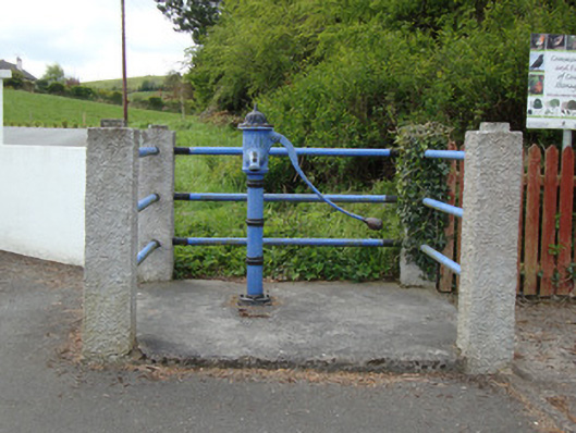 water pumpwater pump · 854 yd
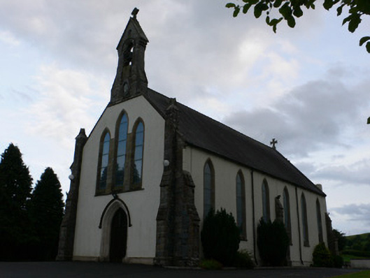 All Saints' Catholic Churchchurch/chapel · 894 yd
 BarrowBarrow, mound barrow · 932 yd
 Man-made underground passage in GarradevlinMan-made underground passage · 1215 yd
 Fort HillWood · 2.1 mi
 Monaghan WayWalking route · 2.1 mi
 Laragh WoodForest · 2.9 mi
 The CrescentMemorial · 3.0 mi
 John Francis GreenMemorial · 3.4 mi
 Bawn in OnomyBawn · 3.7 mi
 Blaney CastleCastle · 3.7 mi
 Harper's IslandIslet · 4.2 mi