What is recorded here
Coolgarriv holds a broken ring where the Tralee-Killarney railway cut through ancient earth. The remaining D-shaped bank still rises from pasture, its interior scattered with hummocks and a hidden underground passage. The train did not discover the fort; it amputated half of it. What remains is a wound in the landscape, still breathing through grass and shadow.
In pasture, on a gentle N-facing slope. This rath is indicated as a circular enclosure (diam. c. 55m) on the 1846 OS 6-inch map while on the 1939 OS 6-inch map, the E half is truncated by the Tralee-Killarney railway. A D-shaped area (dim. c. 16m E-W) remains, defined by an arc of differential growth SE-N and abutted by the railway track along the straight side (L c. 30m) at ENE. The interior is full of hummocks. This is probably the rath near Coolgarriv House, recorded in the 1940s, whose overgrown earthen banks ranged 'from 6 feet [1.82m] to 10 feet [3m] in height' and which was 'about 200 yards [182.8m] in circumference' (ITA). A local correspondent writing in 1939 also recorded an 'old ringed fort with the centre dug away' (SMR file). There is a Man-made underground passage (KE066-040001-) in the interior.
Compiled by: Elizabeth Byrne, Ursula Egan and Sheila Ronan, Archaeological Survey Unit, University College, Cork.
Date of upload: 31 January 2011
The monument record does not grant public access. Check the route and ask the landowner before entering private land.
- What survives
- Recorded monument
Places near here
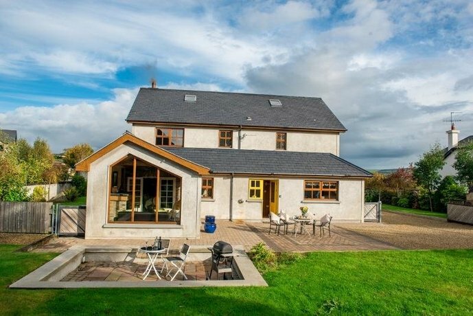 Coolgarriv HouseCountry house · 403 yd
 RoadRoad, road/trackway · 780 yd
 Fulacht FianFulacht fia · 1085 yd
 Fulachta fianBurnt spread · 1129 yd
 Famine MemorialMemorial · 1.0 mi
 GinkgoGinkgo · 1.2 mi
 Kerry 2nd Brigade of the Irish Republican ArmyMemorial · 1.3 mi
 Giant SequoiaGiant Sequoia · 1.5 mi
 Circular WalkWalking route · 1.5 mi
 Jaunting ToursHeritage attraction · 1.7 mi
 Aghadoe Early Medieval Ecclesiastical SiteHeritage attraction · 1.7 mi
 Parkavonear CastleCastle · 1.7 mi