What is recorded here
Cuil Fort in Cooleenaree stands as a broken earthen ring on a north-facing slope, its ancient bank now choked by field fence clearance and its fosse filled with modern debris. Yet a man-made underground passage still cuts through the interior, suggesting the site served more purpose than a simple boundary marker. The nearby ringfort watches from two hundred metres east, creating a strange paired landscape where human ingenuity and forgotten function collide beneath ordinary pasture.
In pasture, on N-facing slope. Roughly circular area (diam. 34m) enclosed in parts by earthen bank with external fosse. Surviving portions of bank partially covered with field fence clearance material; fosse, where surviving, filled with similar material. Man-made underground passage (8867) in interior. According to Broker (1937, 47), locally called 'Cuil Fort'. Ringfort (CO039-081---) in view c. 200m to E.
The above description is derived from the published 'Archaeological Inventory of County Cork. Volume 3: Mid Cork' (Dublin: Stationery Office, 1997). In certain instances the entries have been revised and updated in the light of recent research.
Date of upload/revision: 14 January 2009
The monument record does not grant public access. Check the route and ask the landowner before entering private land.
- What survives
- Recorded monument
Places near here
 Man-made underground passageMan-made underground passage · 10 yd
 Enclosure in GarraneduffEnclosure · 326 yd
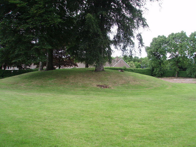 TumulusKiln, lime · 1062 yd
 Church in ShannaknockChurch · 1289 yd
 Castle and TurretCastle, tower house · 1.3 mi
 Millstreet Tourist InformationVisitor information · 1.7 mi
 St. Patrick's ChurchVisitor information · 1.7 mi
 Millstreet Museum & Tourist Information CentreMuseum · 1.7 mi
 RowanRowan · 2.1 mi
 Dromsicane Castle (in Ruins)Bawn · 2.2 mi
 Rathcool WoodWood · 2.7 mi
 Blackwater (Duhallow) WayWalking route · 2.9 mi