What is recorded here
Muddy feet, torn clothes and angry shouts mark the site more often than quiet wonder. The fort is a low earthen ring now half buried under golf course soil, yet its shape still breaks the grass into a shallow bowl. People walk past it without seeing because it does not announce itself like a castle or church. What remains is small enough to ignore and old enough to resist forgetting.
Near the top of a very gentle SW-facing slope in Woodlands Golf Course, overlooking a broad expanse of bog c. 100m to the W. A poorly preserved, slightly raised, sub circular area (int. diams. 23.7m E-W; 21.5m N-S) is defined by a broad, low earthen bank (Wth 6m; int. H 0.2m; ext. H 0.5m at S-1.6m at N (upslope)) N-E-SW, which is overgrown with thorn bushes, and elsewhere by a low scarp (H 1.4m) with traces of a shallow, outer fosse (Wth 1.5m; D 0.3m) in which plastic land-drainage pipe has been laid. Externally, a low berm (Wth 3.4m; H 0.2m) abuts the monument NE-E-SE and appears to be a landscape feature of the golf course. In 1972, a possible entrance was noted at NW (SMR file), but is no longer visible.
Compiled by: Gearóid Conroy
Date of upload: 10 June 2011
The monument record does not grant public access. Check the route and ask the landowner before entering private land.
- What survives
- Recorded monument
Places near here
 Blackwood Castle (in ruins)Castle, tower house · 1454 yd
 Mullhall's FortArchaeological place · 1.1 mi
 Bond Bridgebridge · 1.7 mi
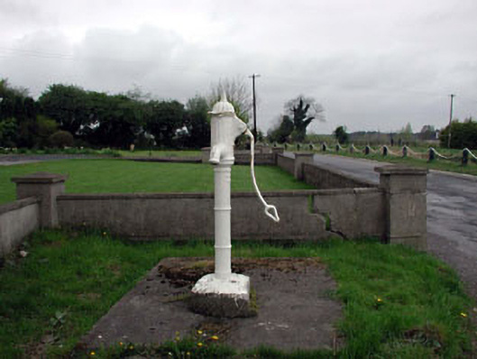 water pumpwater pump · 1.7 mi
 St. Farnans WellHoly well · 1.8 mi
 Grand Canal WayVisitor information · 1.8 mi
 Ballynafagh Bog Special Area of ConservationNature reserve · 1.9 mi
 The Kildare MazeHeritage attraction · 2.6 mi
 Bawn in Grangeclare WestBawn · 2.7 mi
 The Grill ShackHeritage attraction · 4.3 mi
 Killina BogWood · 4.4 mi
 9/11 MemorialMemorial · 4.5 mi