What is recorded here
Coolbane held a subrectangular fairy fort beside a true ringfort, but human hands levelled the first until it vanished. The second still stands sixty metres east, preserving the shape of occupation while the first became a story told through absence.
Partially levelled enclosure, possibly subrectangular, depicted as surviving to W and N on 1842 OS 6-inch map. Hachured arc survives W->N on 1902 OS 6-inch map. Levelled; no visible surface trace. Ringfort (CO124-054---) c. 60m to E.
The above description is derived from the published 'Archaeological Inventory of County Cork. Volume 2: East and South Cork' (Dublin: Stationery Office, 1994). In certain instances the entries have been revised and updated in the light of recent research.
Date of upload/revision: 14 January 2009
The monument record does not grant public access. Check the route and ask the landowner before entering private land.
- What survives
- Recorded monument
Places near here
 Garrylucas EastSettlement cluster · 1400 yd
 post boxpost box · 1647 yd
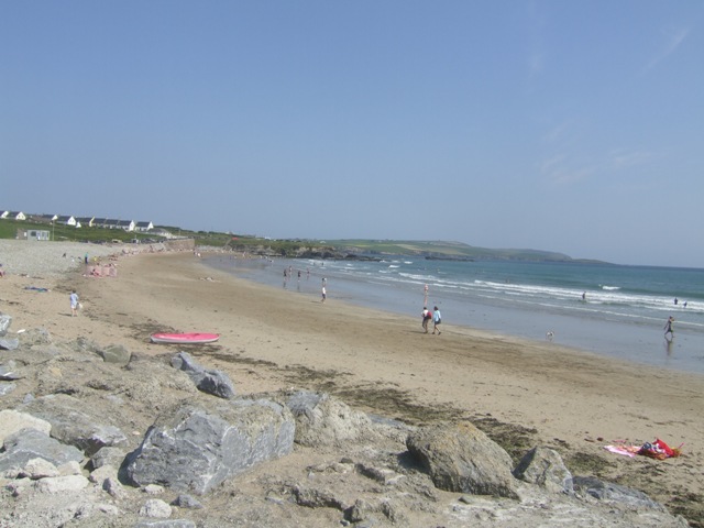 Garretstown StrandBeach / strand · 1741 yd
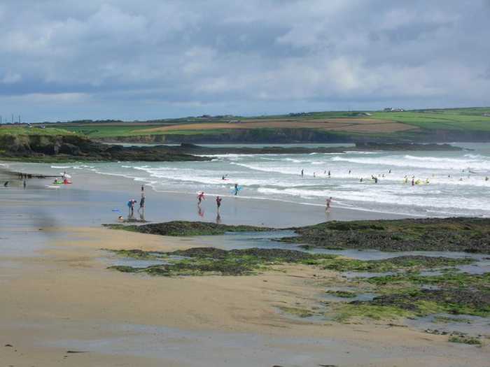 Garrylucas, White StrandBeach / strand · 1.0 mi
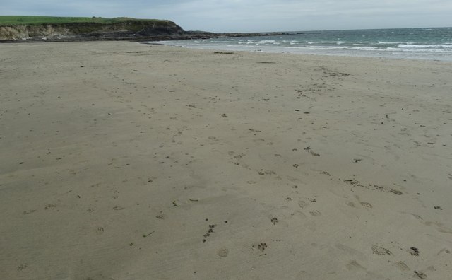 White StrandBeach / strand · 1.1 mi
 Courcey's Gleberectory/glebe/vicarage/curate's house · 1.2 mi
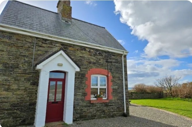 Fulacht fia in Lispatrick LowerFulacht fia · 1.2 mi
 Kilmore WoodWood · 1.4 mi
 New WoodWood · 1.6 mi
 Hackstown Raised Beach GeologyNamed rock · 2.4 mi
 Ringfinnan 9/11 Garden of RemembranceMemorial · 2.5 mi
 Minane IslandIsland · 2.5 mi