What is recorded here
Fairy fort / earthen ringfort in Coolbane (courceys By.) is a rough circular bank on a ridge crest in County Cork, Ireland. It is not a mysterious fairy creation, although people may have called it that because the shape emerged from soil rather than stone. The earth still holds its edge, marking a place where humans shaped the landscape and departed.
In pasture, on crest of ridge. Roughly circular, raised area (35.7m N-S; 38.3m E-W) defined by bank (ext. H 2.5m; int. H 1.15m); fosse removed by ploughing. Interior level. Levelled enclosure (CO124-055---) c. 140m to E.
The above description is derived from the published 'Archaeological Inventory of County Cork. Volume 2: East and South Cork' (Dublin: Stationery Office, 1994). In certain instances the entries have been revised and updated in the light of recent research.
Date of upload/revision: 14 January 2009
A fairy fort in Coolbane is an earthen ringfort, likely dating to the early medieval period, characterized by a circular, raised bank with an interior level area, typical of Irish raths. Local folklore associates such sites with fairy activity, and they were often avoided due to beliefs in their supernatural inhabitants.
The monument record does not grant public access. Check the route and ask the landowner before entering private land.
- What survives
- Recorded monument
Places near here
 Garrylucas EastSettlement cluster · 1420 yd
 post boxpost box · 1643 yd
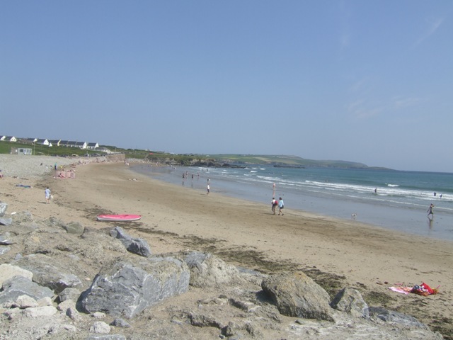 Garretstown StrandBeach / strand · 1660 yd
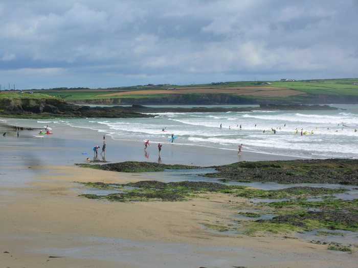 Garrylucas, White StrandBeach / strand · 1.1 mi
 Courcey's Gleberectory/glebe/vicarage/curate's house · 1.1 mi
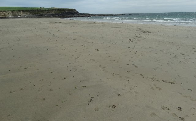 White StrandBeach / strand · 1.1 mi
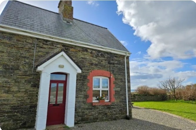 Fulacht fia in Lispatrick LowerFulacht fia · 1.2 mi
 Kilmore WoodWood · 1.3 mi
 New WoodWood · 1.5 mi
 Hackstown Raised Beach GeologyNamed rock · 2.3 mi
 Ringfinnan 9/11 Garden of RemembranceMemorial · 2.5 mi
 Minane IslandIsland · 2.6 mi