What is recorded here
In level pasture. A raised circular area (diam. c. 40m) enclosed by a low bank of earth and stone (Wth c. 5m; H 0.3-0.65m) at W and from NNW-N, and defined elsewhere by a scarp (H 0.75-1.5m) with a wide shallow intervening fosse (Wth 6-7m; D 0.6-1.05m) and from WSW-W-NNW an outer bank (Wth 4.5m; H 0.4-0.8m). The original entrance is not recognisable.
Compiled by: Patrick F. O'Donovan
Date of upload: 30 November 2011
The monument record does not grant public access. Check the route and ask the landowner before entering private land.
- What survives
- Recorded monument
Places near here
 BarrowBarrow, mound barrow · 353 yd
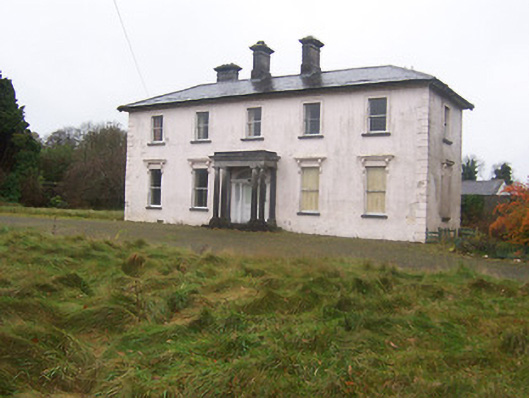 Coolambercountry house · 553 yd
 IndicatedCross, Wayside cross · 810 yd
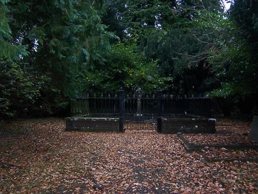 graveyard/cemeterygraveyard/cemetery · 829 yd
 Coolamber CastleHouse, fortified house · 982 yd
 CastleCastle, motte · 1.1 mi
 Granard MotteMotte-and-bailey castle remains · 4.4 mi
 1798 Monumentmonument · 4.5 mi
 Silver FirSilver Fir · 5.1 mi
 Clonfin Ambush MemorialMemorial · 5.8 mi
 Sweet ChestnutSweet Chestnut · 6.2 mi
 CarrickabaneMountain / peak · 6.5 mi