What is recorded here
Fairy forts in Limerick are often little more than shallow rings, but Coolaleen still holds a clear circular edge twenty-six metres wide, with a ditch running partway around it and bushes creeping into the grassy centre. It sits in open pasture like a forgotten room, the kind of place where people may have kept animals, hidden tools or simply marked the edge of the field. The name suggests it belongs to fairies now, yet its shape is human enough to touch, measure and walk around.
In level pasture. Circular area (24m N-S; 26m E-W) defined by scarped edge (H 1.15m; Wth 3.5m), with external fosse (D 0.45m; Wth 6.3m) SW-NE. Fosse terminates at water-filled depression at NE and has been infilled ESE-SW. Enclosing element overgrown with bushes which are encroaching on interior which is otherwise covered by tall grass and slopes down gently towards the centre. Field boundary skirts enclosure W-NE.
Compiled by: Denis Power
Date of upload: 26 August 2011
The monument record does not grant public access. Check the route and ask the landowner before entering private land.
- What survives
- Recorded monument
Places near here
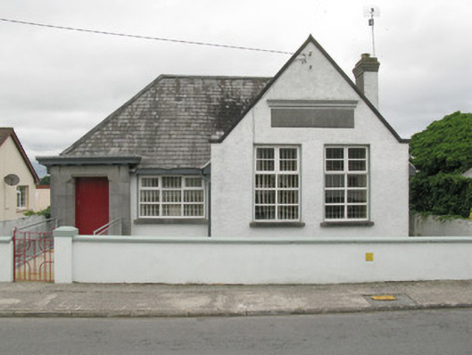 Broadford Carnegie Librarylibrary/archive · 1579 yd
 Lisnafulla Bridgebridge · 1742 yd
 Glenduff CastleCastle, tower house · 1.2 mi
 IndicatedFairy fort / earthen ringfort · 1.4 mi
 BarrowBarrow, ring-barrow · 1.5 mi
 Castle (in ruins), Springfield CastleCastle, tower house · 1.8 mi
 Mullaghareirk - Banane LoopWalking route · 3.4 mi
 ToberhoranSpring · 3.6 mi
 Ballagh MountainMountain / peak · 3.7 mi
 National Co-op MuseumMuseum · 3.9 mi
 Saint Ite's WellSpring · 3.9 mi
 Rock HillMountain / peak · 5.5 mi