What is recorded here
Coolacokery is a levelled ringfort that still shows a pale circular scar of stunted grass and a narrow edge of nettles. It is no longer a visible fort, but the ground has kept the shape of the lost enclosure.
In pasture, on gentle NNW-facing slope. Monument, depicted on 1923 OS 6-inch map as circular enclosure (diam. c. 20m), has been levelled. However, site is now evident as circular patch of stunted light-coloured grass (c. 18m N-S) edged by band of nettles (Wth c. 2m) NNW->SSW.
Compiled by: Denis Power
Date of upload: 26 August 2011
The monument record does not grant public access. Check the route and ask the landowner before entering private land.
- What survives
- Recorded monument
Places near here
 Holy well in KilrodaneHoly well · 1.1 mi
 Kilmurry Church (in ruins)Church · 1.1 mi
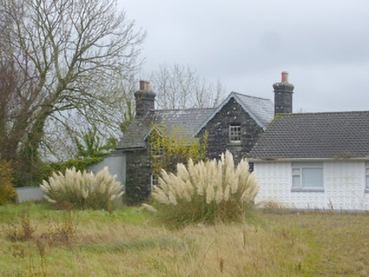 Ardagh Railway Stationrailway station · 1.3 mi
 BarrowBarrow, ditch barrow · 1.4 mi
 CahermoyleCastle, unclassified · 2.1 mi
 Templars Castle (in ruins)Castle, Anglo-Norman masonry castle · 2.1 mi
 St. Luke's WellSpring · 2.2 mi
 St. Kieran's WellSpring · 2.8 mi
 European ashEuropean ash · 3.5 mi
 Limerick GreenwayWalking route · 4.6 mi
 Sugar HillMountain / peak · 6.1 mi
 Ballagh MountainMountain / peak · 8.0 mi